• Home
  • Newsletter
  • PRODUCTS
    • Surveyor 32
    • Surveyor 32 MAX
    • Revolution 120
    • Surveyor mini series >
      • SURVEYOR MINIV2 Riegl
      • SURVEYOR MINIV3 Riegl
    • Surveyor High Accuracy Series >
      • Surveyor VUX Riegl
      • Surveyor DUAL VUX - Riegl
      • Surveyor CL360
    • Highway Mapper Series >
      • HiWay Mapper Z & Snoopy Custom
    • UAV / Drones
  • Resources
    • myPointClouds.com
    • SAMPLE DATA
    • Pictures
    • Videos
    • Applications >
      • Surveying/Mapping
      • Education
      • Law Enforcement
      • Military
      • Archeology
      • Agriculture
    • Financing
  • SUPPORT
    • SUPPORT TICKETS
    • WIKI Support
    • RESOURCES >
      • Remote Support
      • Case Studies
      • FAQ
      • Warranty, Terms & Conditions
      • Learn
  • News
  • About
    • About Us
    • Contact
    • Jobs
LIDAR USA - UAV DRONE 3D LIDAR MOBILE MODELING MAPPING GIS EXPERTS
  • Home
  • Newsletter
  • PRODUCTS
    • Surveyor 32
    • Surveyor 32 MAX
    • Revolution 120
    • Surveyor mini series >
      • SURVEYOR MINIV2 Riegl
      • SURVEYOR MINIV3 Riegl
    • Surveyor High Accuracy Series >
      • Surveyor VUX Riegl
      • Surveyor DUAL VUX - Riegl
      • Surveyor CL360
    • Highway Mapper Series >
      • HiWay Mapper Z & Snoopy Custom
    • UAV / Drones
  • Resources
    • myPointClouds.com
    • SAMPLE DATA
    • Pictures
    • Videos
    • Applications >
      • Surveying/Mapping
      • Education
      • Law Enforcement
      • Military
      • Archeology
      • Agriculture
    • Financing
  • SUPPORT
    • SUPPORT TICKETS
    • WIKI Support
    • RESOURCES >
      • Remote Support
      • Case Studies
      • FAQ
      • Warranty, Terms & Conditions
      • Learn
  • News
  • About
    • About Us
    • Contact
    • Jobs
  • DJI UAV / Drones
  • >
  • RTK-B + Datalink Pro Pack

RTK-B + Datalink Pro Pack

$4,599.00
$4,599.00
Unavailable
per item
Ideal for environments that need to withstand magnetic interference from metal structures.  

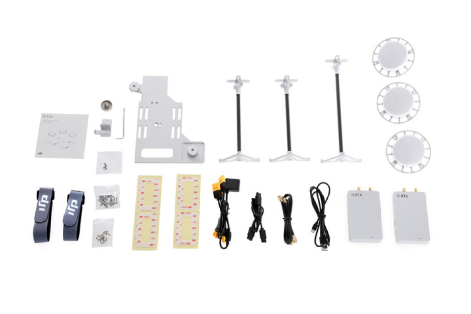
D-RTK GNSS is a high precision navigation and positioning system.  Using dynamic differential technology, it provides ultra-accurate, centimeter level 3D positioning. This enhanced accuracy over typical barometer, compass and GPS systems makes D-RTK essential for commercial, industrial and scientific applications where accuracy is imperative.  Using dual antennas, its heading reference is more accurate than a compass sensor, and it is able to withstand magnetic interference from metal structures.

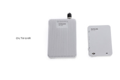
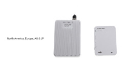
RTK-B: Using a GPS+BDS dual positioning module, RTK-B’s positioning performance surpasses RTK-G in areas covered by BDS. RTK-B is recommended for use in China, Taiwan, Hong Kong, Korea, Japan, Southeast Asia, India, Australia, and New Zealand.

Terms and Conditions
SKU:
Buy Now

 1999–2022 Fagerman Technologies, dba. LiDARUSA.  All rights reserved.


Picture
​Sales/Main: 256-274-1616
sales@lidarusa.com
Picture
  • Home
  • Newsletter
  • PRODUCTS
    • Surveyor 32
    • Surveyor 32 MAX
    • Revolution 120
    • Surveyor mini series >
      • SURVEYOR MINIV2 Riegl
      • SURVEYOR MINIV3 Riegl
    • Surveyor High Accuracy Series >
      • Surveyor VUX Riegl
      • Surveyor DUAL VUX - Riegl
      • Surveyor CL360
    • Highway Mapper Series >
      • HiWay Mapper Z & Snoopy Custom
    • UAV / Drones
  • Resources
    • myPointClouds.com
    • SAMPLE DATA
    • Pictures
    • Videos
    • Applications >
      • Surveying/Mapping
      • Education
      • Law Enforcement
      • Military
      • Archeology
      • Agriculture
    • Financing
  • SUPPORT
    • SUPPORT TICKETS
    • WIKI Support
    • RESOURCES >
      • Remote Support
      • Case Studies
      • FAQ
      • Warranty, Terms & Conditions
      • Learn
  • News
  • About
    • About Us
    • Contact
    • Jobs