USA and CA MODEL - PRECIS-BX305 KIT (915MHZ)
$2,899.00
$2,399.00
$2,399.00
per item
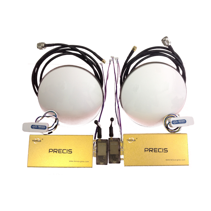
KIT INCLUDES:
|
RADIO DETAILSThe radio is available in 915Mhz (US) and 433Mhz (Europe). The two radio transmitters/receivers in an RTK system need to be able to pass RTCM data from the base station to the rover receiver. The bundle includes a basic low-power radio link that runs quickly and is good for short baseline applications.
It has a transmit power of up to 100 mW, giving approximately one kilometer. SUPPORT MATERIALS
|