|
|
|
|
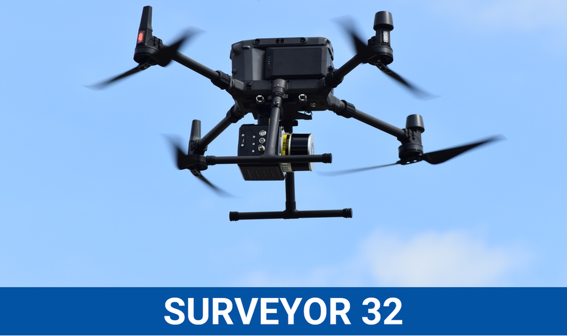
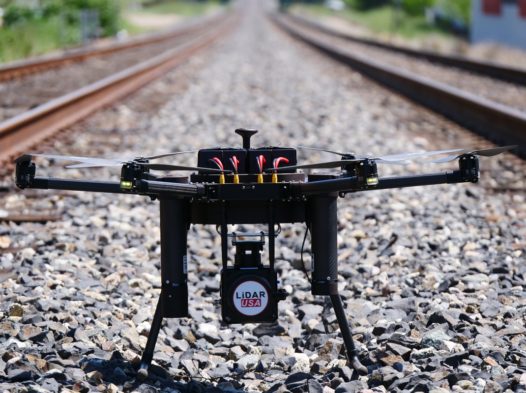
This is one of the most powerful and affordable LiDAR system we have ever made, Let us help you meet all your accuracy and productivity goals. The Surveyor 32 LiDAR system is designed for ease of use for both field and back office processing. Take advantage of this multiple use LiDAR system for your UAV, Car, and Backpack needs. ~ Jeff Fagerman, CEO / Founder
Jeff Fagerman, CEO / Founder - We have always been on the forefront of innovation, now we have a solution that can deliver high accuracy in a feather light package and works on most drones.
PRODUCTS cont.
High Accuracy SeriesThese High Accurate Systems can be used on a UAV, Car, or Backpack. Can be paired with multiple cameras for a high ROI.
|
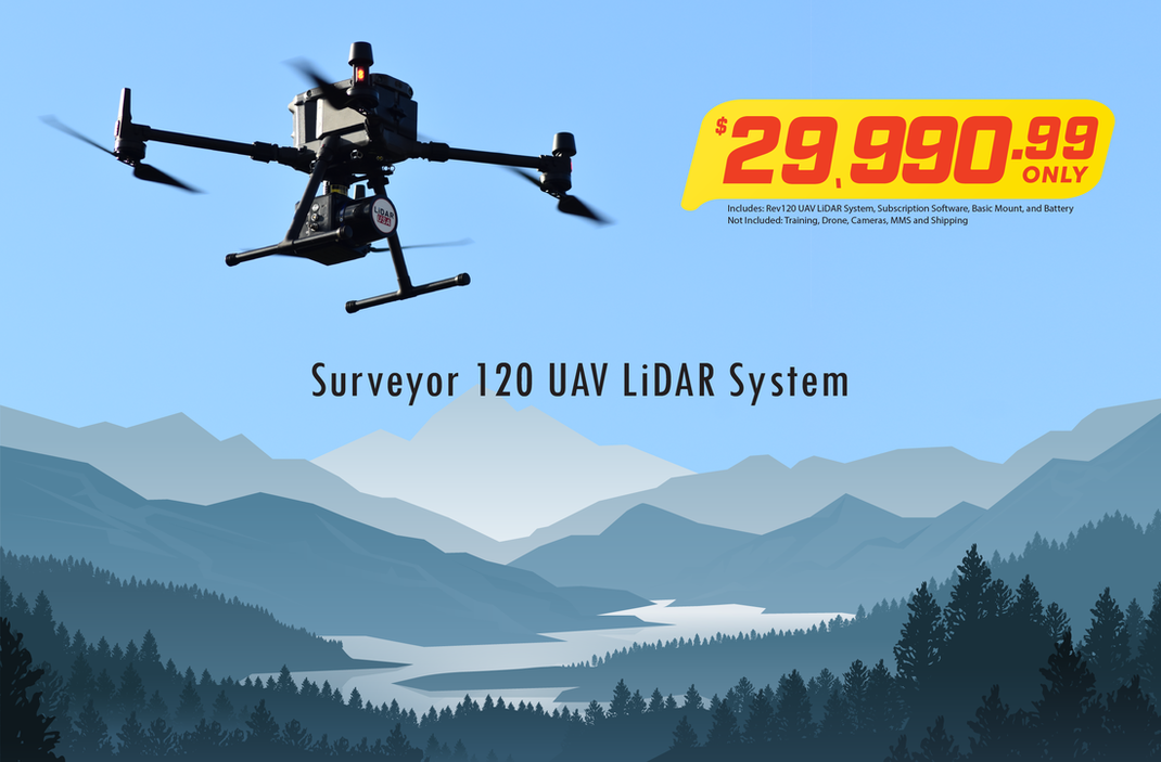
Surveyor 120This Entry Level LiDAR system is priced staring at $29,990. The system is great for 1ft contours.
|
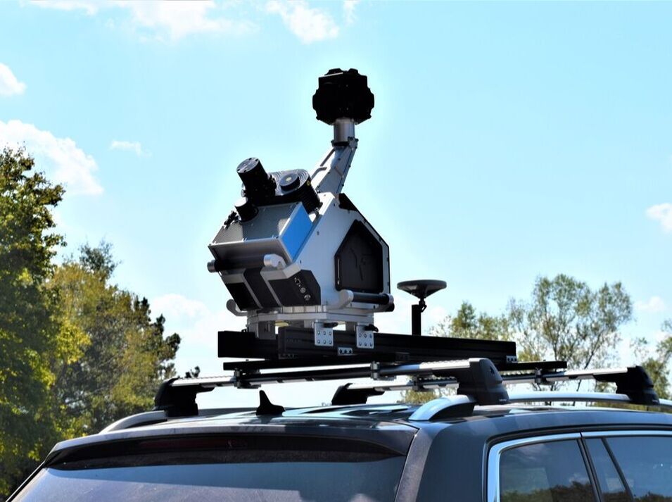
Highway MapperMobile Mapping as never been more accurate or affordable.
Single, Dual, Triple Configurations |

|
LiDARUSA worked with Dr. Davide Zori from Baylor University in Texas and Josh Gates from the tv show “Expedition Unknown” in June of 2022 to help map and unearth part of the Roman Empire’s lost tombs that were still intact. Thought to have been lost to grave robbers and thieves, these tombs were hidden in an ancient village of the Etruscans who had been conquered by the Roman Empire. Over the course of a week we used our Surveyor 32 to scan the Etruscan village and surrounding mountains that had been buried by volcanic ash and covered with dense vegetation.
The Surveyor 32 proved its robust capabilities in such a hostile environment by helping locate possibly one of the last known untouched tombs of the Etruscans. |
WORLD LEADERS IN MMS AND UAV LiDAR SOLUTIONS TRUSTED BY SURVEYORS AND TV PRODUCERS ALIKE
We are constantly promoting and advancing the technology to bring you robust, easy to use, LiDAR packages. Allowing you to make your own history.
|
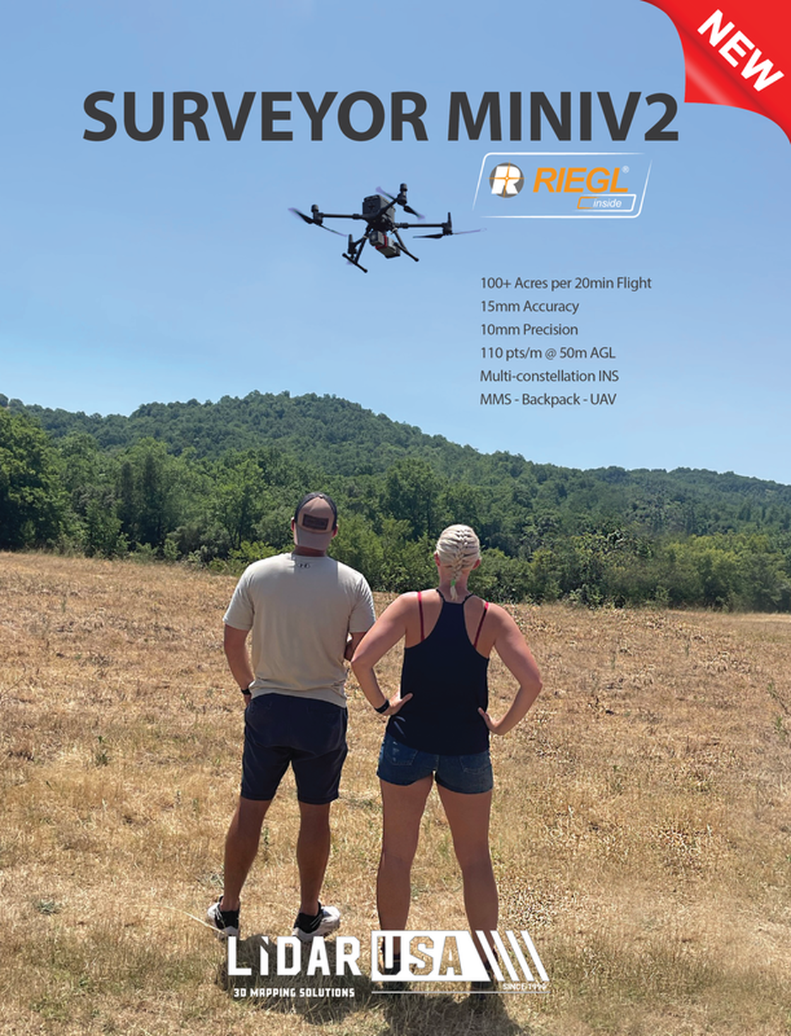
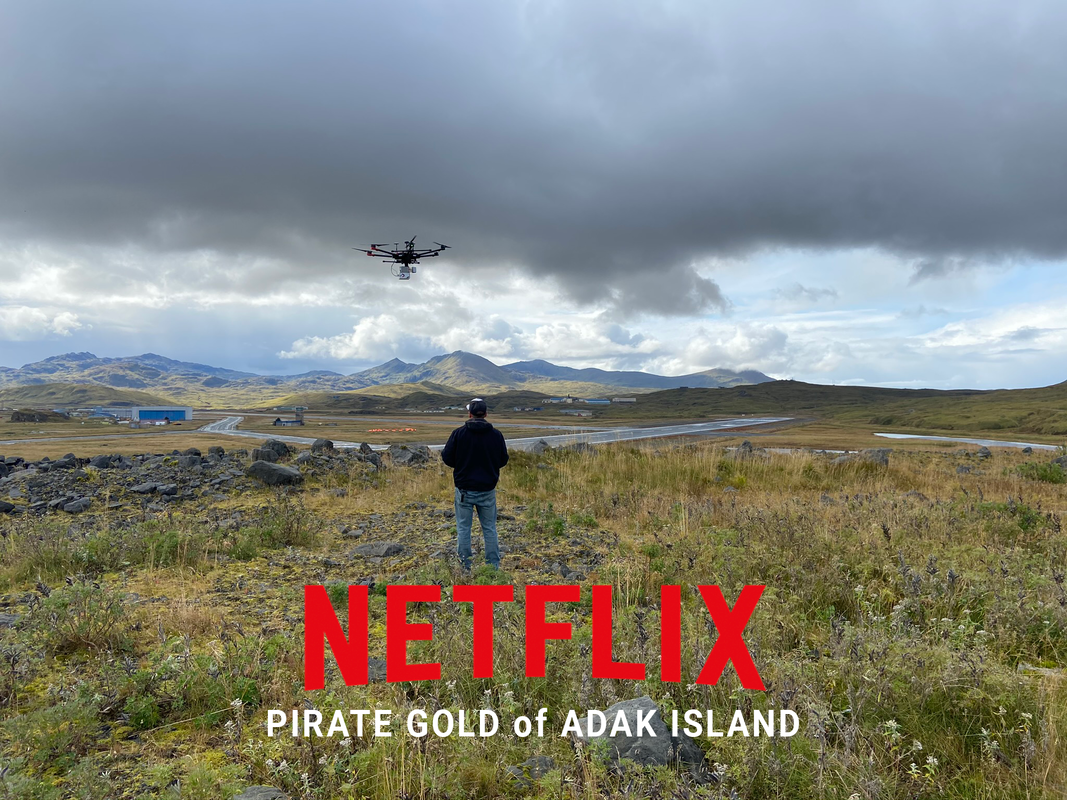
LiDARUSA had the opportunity to work with Netflix in filming “Pirate Gold of Adak Island” in September of 2020 on one of the furthest civilian inhabited islands of the United States. We were part of a team of pioneers in search of a lost treasure valued at over $300,000,000. While filming the show, we were able to utilize our Surveyor miniVUX2.
The Surveyor miniVUX2 is a survey grade system which provided high quality data used to outline paths through the tundra leading to the potential whereabouts of the lost gold. The most challenging parts of the work was working with the high winds and intermittent snow. |
|
|
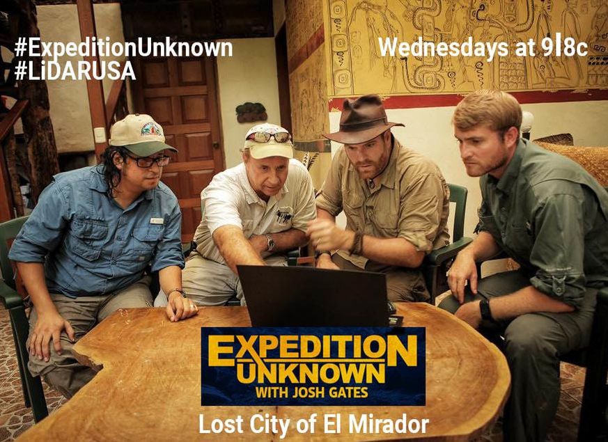
LiDARUSA was asked by Josh Gates with Expedition Unknown to help provide a detailed 3D map of the lost city of El Mirador in a South American jungle. During the 12 day adventure we traveled deep in Guatemalan, far from any human population hidden in the dense jungle. Using our UAV mounted Snoopy HD LiDAR system, we were able create a bare earth model of the Pyramid.
Once the data was analyzed, we identified long roads and temples that could be seen dotting the landscape, still completely obscured from eyesight and only visible using our LiDAR technology. Giant snakes, huge spiders, and large mosquitos made the trip even more exciting. |
|
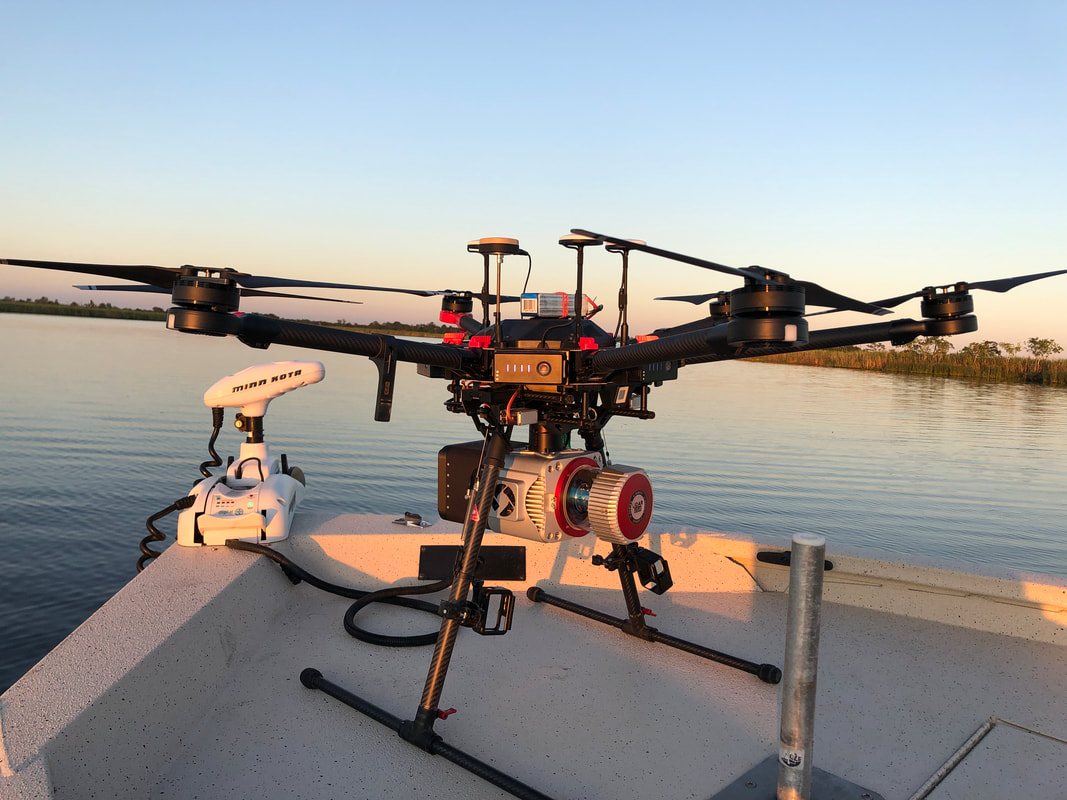
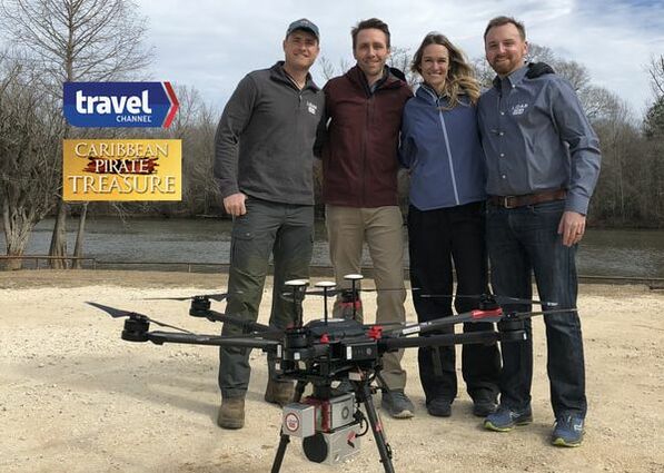
Partnering with the grandson of world famous explorer Jacques Cousteau, the LiDARUSA team worked with Philippe Cousteau Jr. and his wife Ashlan Gorse to explore and map a section of the Florida Gulf Coast. According to historical accounts, infamous pirate Gasparilla scuttled his ship in an inland waterway and had is crew bury the treasure in the local swamp.
The Surveyor miniV1 mounted on a UAV was used to capture 3D models of the trees and vegetation in the under brush of the swamp at low tide. The LiDARUSA Team discovered several large mounds after we created a bare earth model of the topography, along with a contour map that provided survey details to the archeologist for further investigation. |
|
Psst.... It's FREE
|
View
|
Collaborate
|
Protect
|

Highway 231 Land Slide Scan |
Blooper Real - Virtual Conference |
Why Choose ScanLook?Do you face the costly, burdensome, sometimes dangerous, and lengthy process of capturing 3D data on a routine basis?
Invest in a ScanLook LiDAR and Imaging system and rid yourself of these problems. A ScanLook system can PAY FOR ITSELF IN ONE JOB!!!!!! |
Why Choose Fagerman Tech?It's All About YOU!
This is the bonus of being a small, dynamic, customer driven business. We focus on your problem by listening to you. We don't offer just one system - we offer a system built for you. Tell us your application market, your requirements, and generally what you want and we'll build a system specifically for you. |
Founded in 1999, Well before the UAV age. We are an aggressive team of mobile mapping pioneers who build and create customized LiDAR solutions for collecting from the ground, water, and air. While some may claim they are first, our name LiDARUSA should say it all.
Our systems are mounted on cars, trucks, ATVs, rail, boats, gyroplanes, helicopters, UAVs, backpacks, poles, carts - anything that moves and can carry 5 pounds! We focus on pushing LiDAR to the forefront and have been since our founding.
Our systems are mounted on cars, trucks, ATVs, rail, boats, gyroplanes, helicopters, UAVs, backpacks, poles, carts - anything that moves and can carry 5 pounds! We focus on pushing LiDAR to the forefront and have been since our founding.