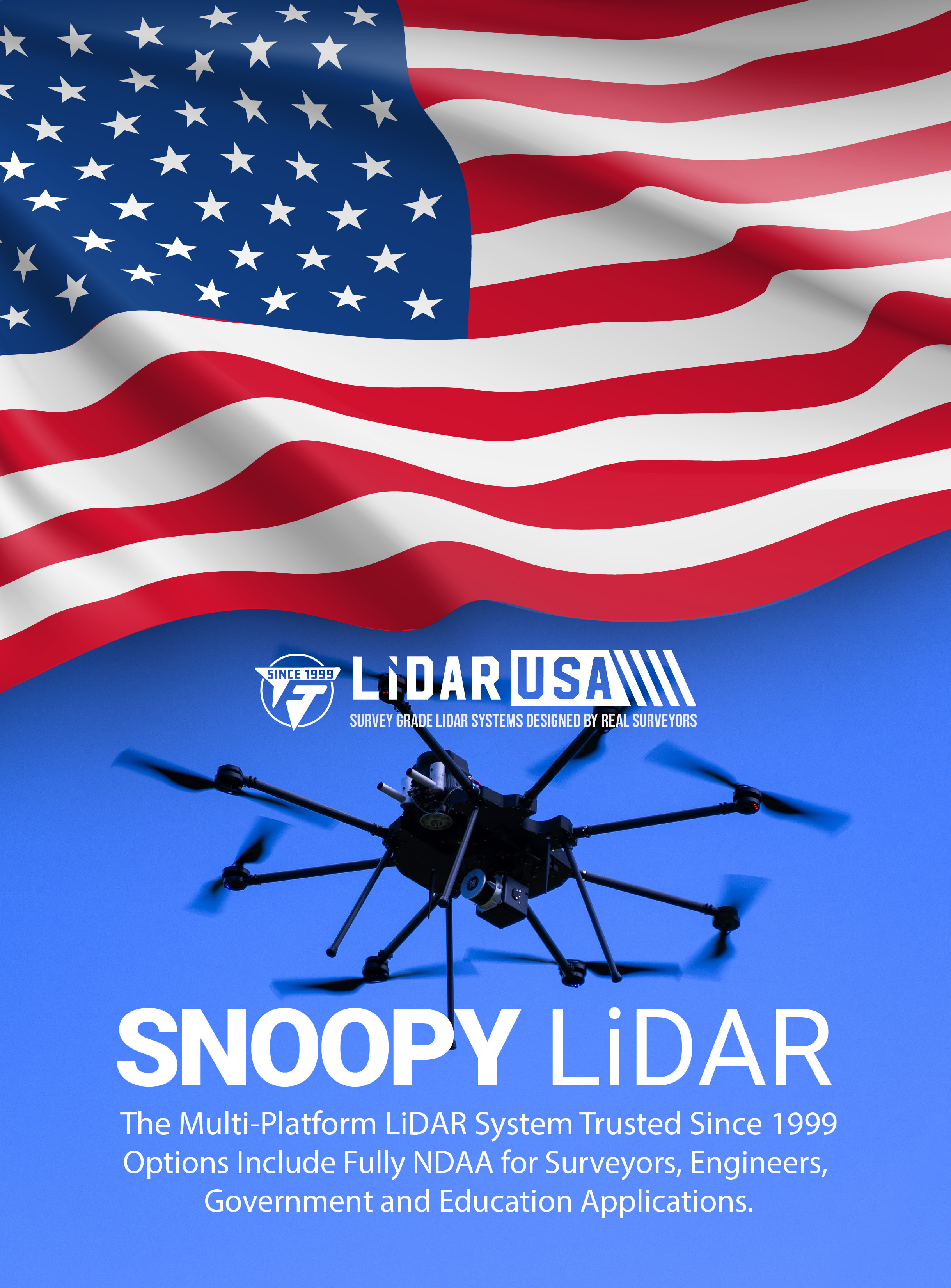
BUILT IN THE USA. PROVEN EVERYWHERE.
Between the Points Newsletter
Field notes, product updates, and mapping insights.
Survey-grade LiDAR systems since 1999
One system.
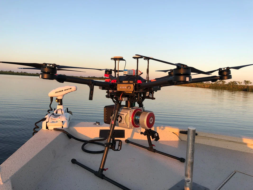
More ways to map. The Story Behind the ShotField note · September 2019Mapping where the work takes you.An early and remarkable demonstration of the capabilities of our systems in the field. Texas Surveyor Matt Davis encountered a challenge while scanning a remote area where vehicle access was impossible. To overcome this obstacle, he ingeniously used his bass boat as the takeoff platform.
Purpose-built aerial and mobile mapping systems, configured around your accuracy, aircraft, compliance, and field workflow.
27+years in Geospatial
±2 cmsurvey-grade workflows
U.S.-basedengineering & support
All systemsHigh-accuracy RIEGL integration
Surveyor VUX
High-performance ranging for demanding survey programs.
A high-accuracy Surveyor configuration built around RIEGL VUX technology and integrated for aerial, vehicle, or backpack deployment.
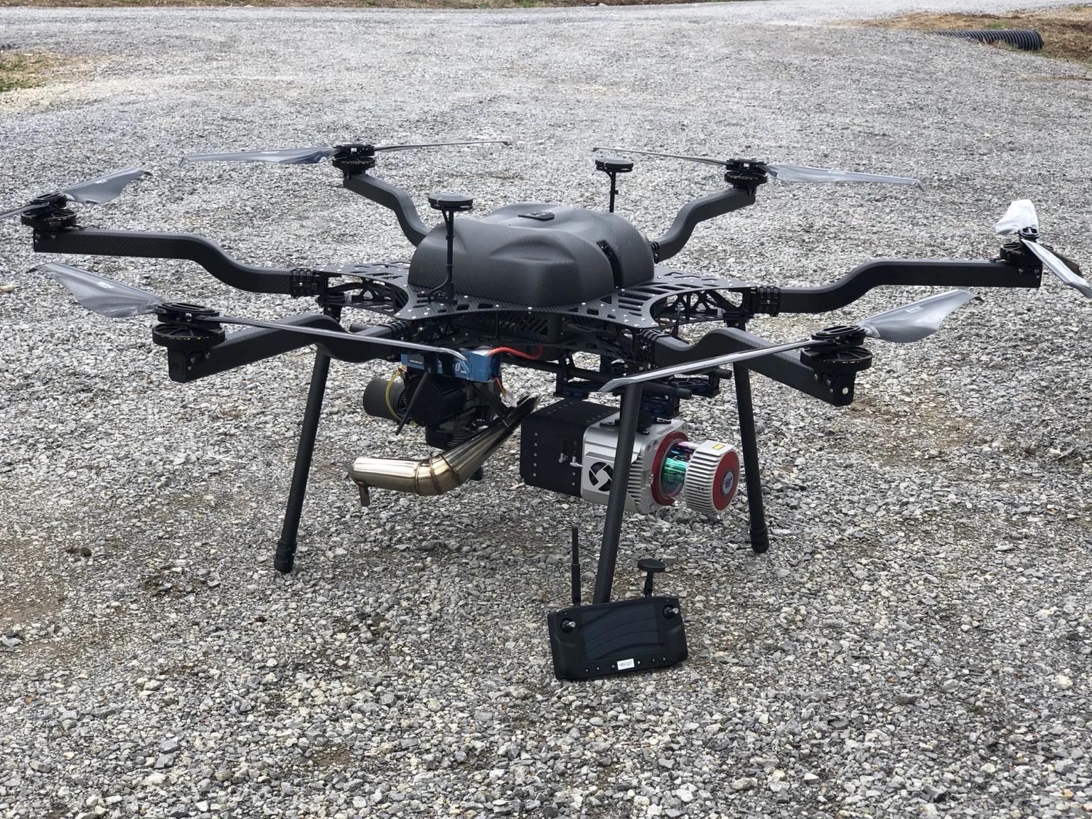
UAV + MMS + Helicopterdeployment options
61 MPhigh-resolution imagery
Survey-grademission focus
LiDARUSA system planner
Plan the collection. See the density.
Use the revised interactive planner to compare settings and inspect the flight preview, density map, line chart, and—where this system supports it—the mobile road-sampling diagram.
01 / Aerial mapping
Surveyor VUX · UAVFind your flight settings.
02 / Mobile mapping
Surveyor VUX · MMSPlan your mobile scan.
Density and diagrams are theoretical planning estimates from the supplied file. Real coverage depends on the complete configuration, target reflectivity, terrain, scan geometry, vehicle or aircraft operation, and processing.
Configured for collection
The Surveyor VUX in the field.
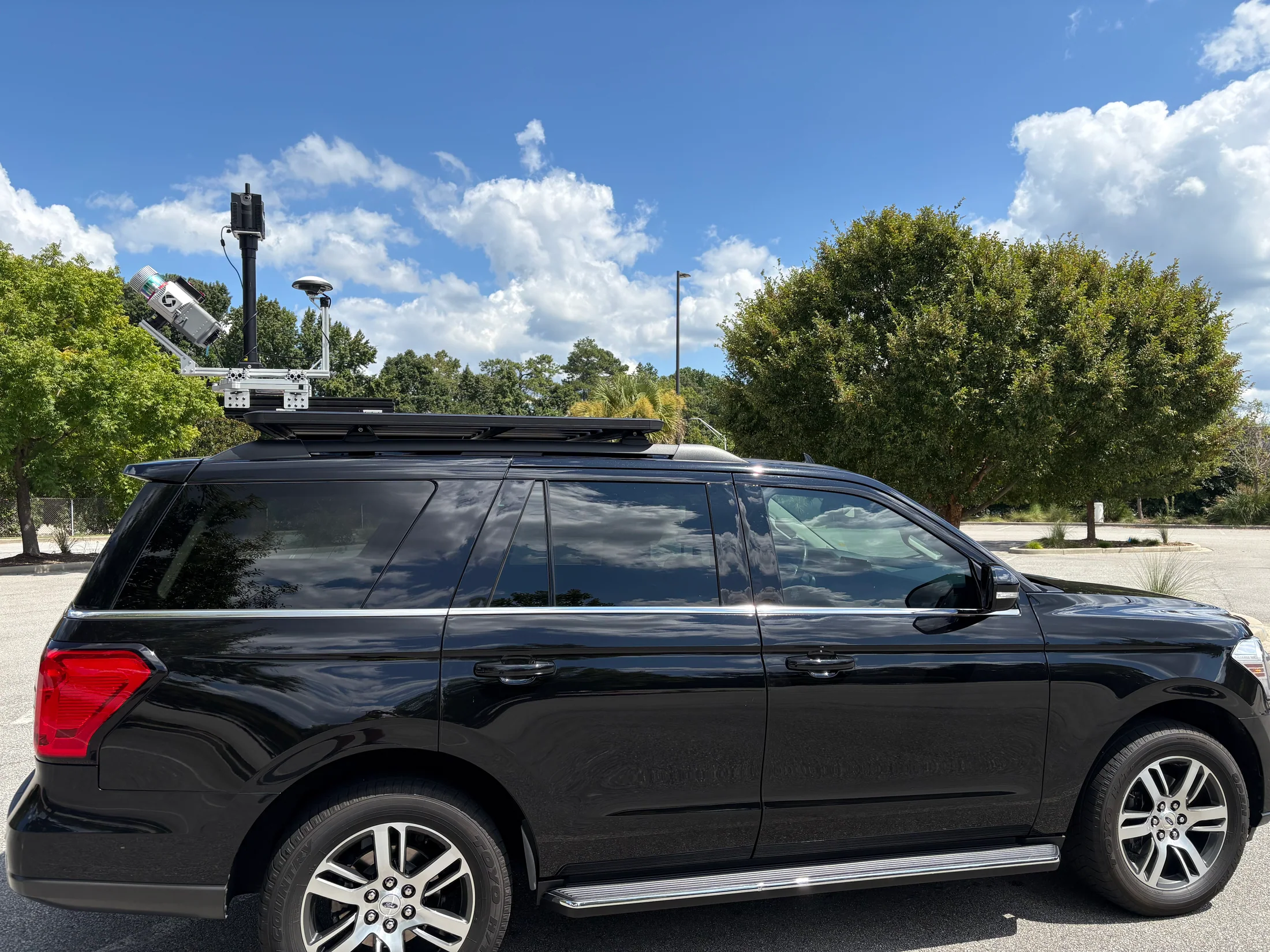
A strong starting point for
Mission applications
Configured around the work
The Complete System.
Final specifications and performance depend on the selected sensor, INS, camera, aircraft or vehicle, operating conditions, and project requirements.
High-accuracy architecture
Designed for projects where range performance, repeatability, and point quality drive the system choice.
Platform flexibility
Configured for aircraft, vehicle, or backpack work to increase utilization across a mapping program.
Imaging integration
Pair the scanner with a single 61 MP camera for high-resolution imagery and detailed point-cloud colorization.
Complete workflow
LiDARUSA integrates acquisition, trajectory, georeferencing, processing, and export around the sensor.
LiDARUSA mission integration
Get my recommendation & pricing