
Format drives on the flyPrepare collection media in the field and keep the crew moving.
BUILT IN THE USA. PROVEN EVERYWHERE.
Between the Points Newsletter
Field notes, product updates, and mapping insights.
The software behind every missionSnoopy Navigation Console
Run the mission from one smart field app.
Prepare storage, plan collection paths, monitor position, and connect with LiDARUSA support without breaking your field workflow.
See the live mapFollow current position, path, GNSS, and receiver status.
Program MMS drive pathsPlan repeatable mobile-mapping collection routes before you roll.
Connect to remote supportGive LiDARUSA technicians a clearer path to help when needed.
Scroll to see the live app view


UAV + MMS + HELIMission-ready workflow
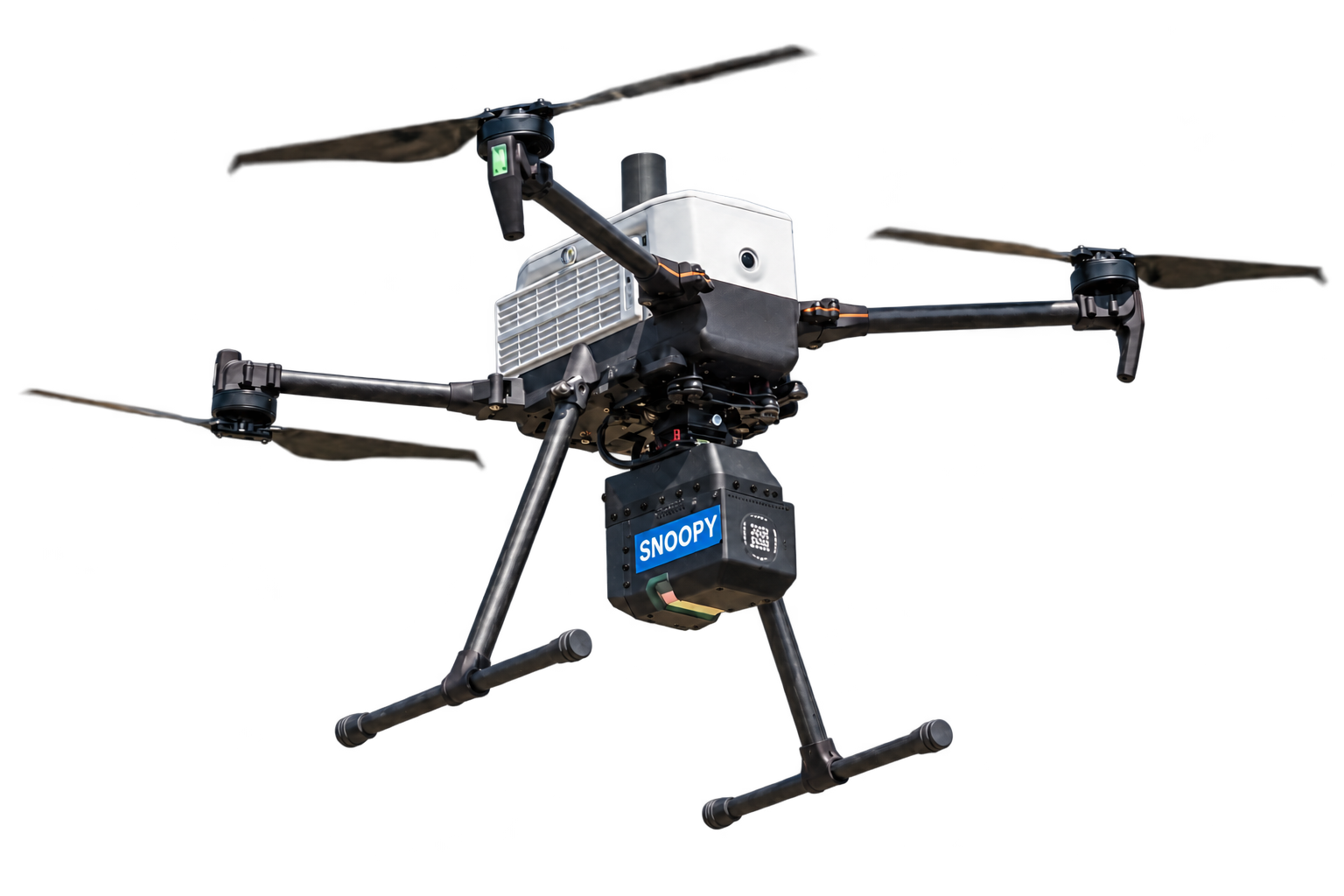
Surveyor 32
More coverage.
Built to move.
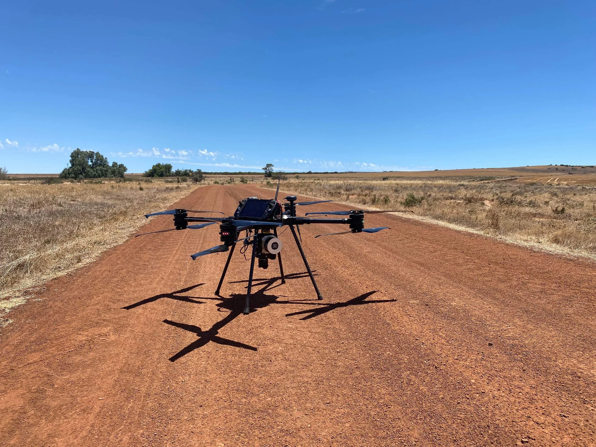
Oil and Gas Scan · June 2025A hot day in the Outback.This hot photo came from Andrew Lashmar of Evolution Flight, previously with INF. With temperatures exceeding 110 degrees, the Surveyor 32 and SL800 (now retired) scanned for over 60 minutes per flight. After a day of scanning, the team had captured over 3,500 acres and driven many kilometers in the Outback.
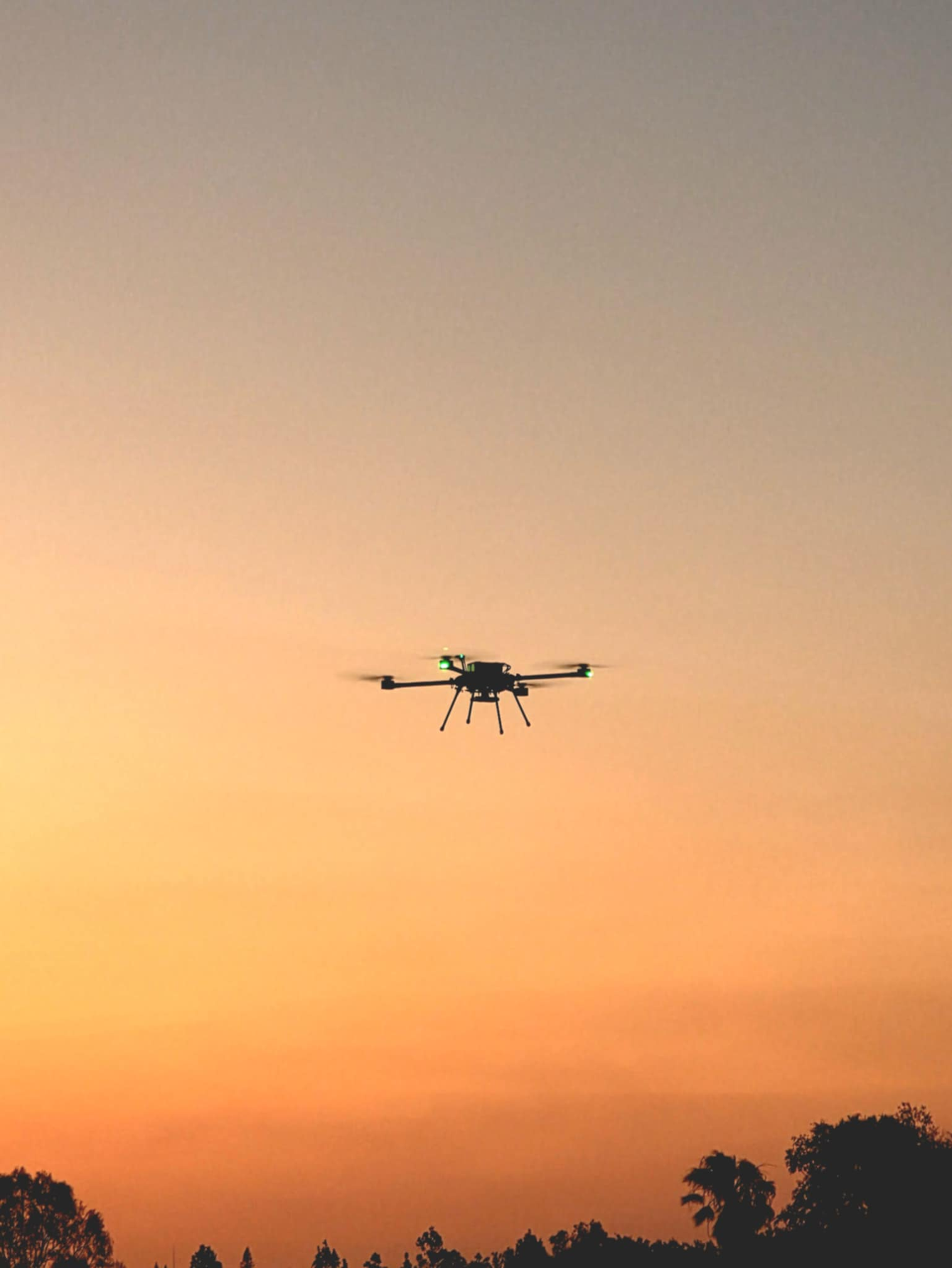
Testing drones · April 2026Building and testing drones is not just a job—it’s a lifestyle.This incredible photo came from Andrew Lashmar with Evolution Flight. A beautiful sunset drone flight captured after an 85-minute endurance flight.
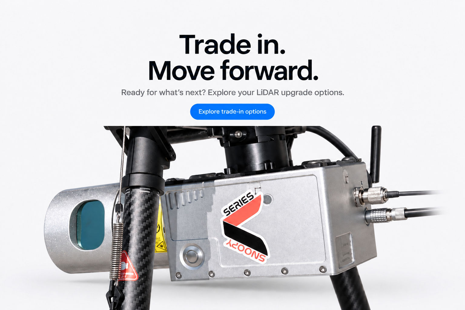
Trade in.
Move forward.
Ready for what’s next? Explore your LiDAR upgrade options.
Survey-grade LiDAR systems since 1999
One system.
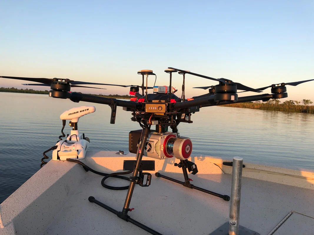
More ways to map. The Story Behind the ShotField note · September 2019Mapping where the work takes you.An early and remarkable demonstration of the capabilities of our systems in the field. Texas Surveyor Matt Davis encountered a challenge while scanning a remote area where vehicle access was impossible. To overcome this obstacle, he ingeniously used his bass boat as the takeoff platform.
Purpose-built aerial and mobile mapping systems, configured around your accuracy, aircraft, compliance, and field workflow.
27+years in Geospatial
±2 cmsurvey-grade workflows
U.S.-basedengineering & support
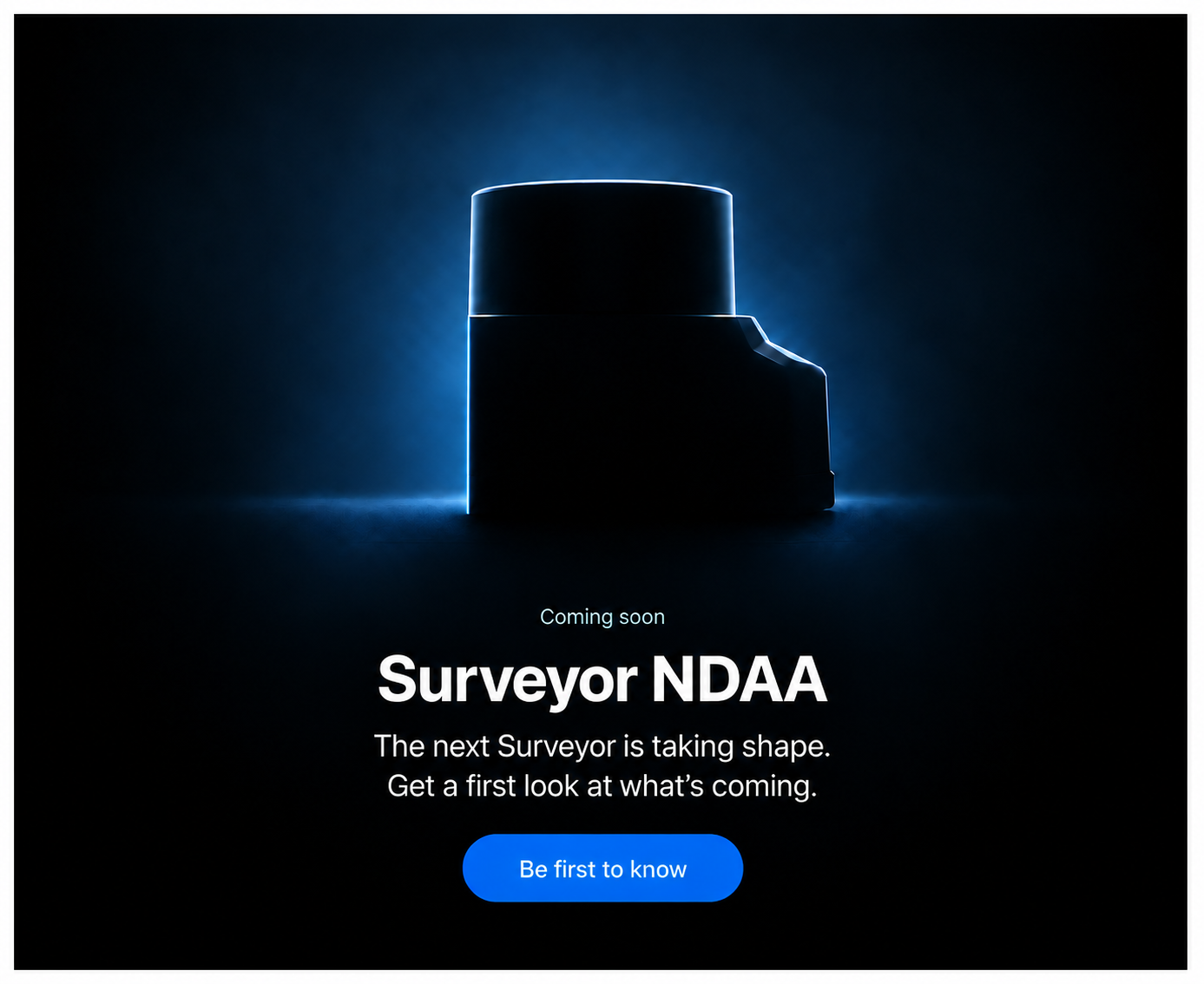
NDAA optionLiberty NDAA preview above
Different work.
A clearer picture.
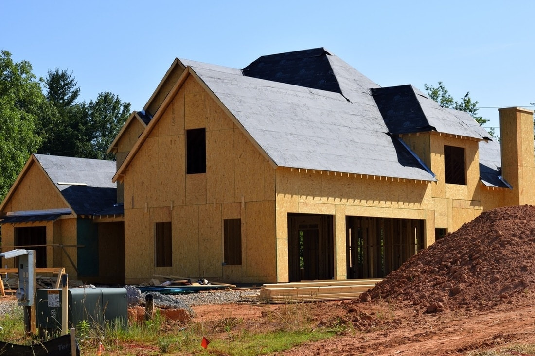
Land developmentKnow the ground.
01 / 04Know the ground.
Before you break it.
A measured starting point for the places you’ll build.
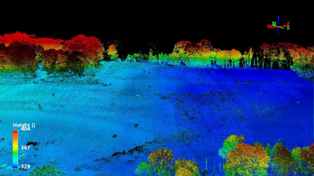
Education & researchThe next generation.
02 / 04The next generation.
Ready for the field.
Put professional mapping in the hands of tomorrow’s experts.
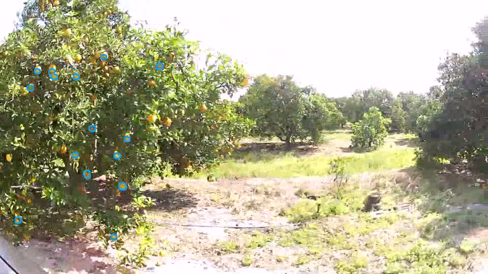
AgricultureUnderstand the land.
03 / 04Understand the land.
Measure what’s growing.
See the ground, the growth, and the change over time.
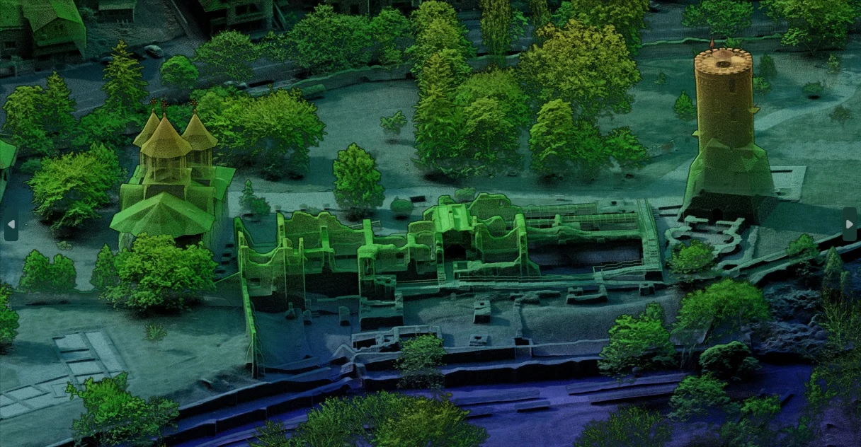
Archaeology & cultural heritageHidden landscapes.
04 / 04Hidden landscapes.
New starting points.
Give discovery and preservation a detailed spatial record.
01 / 04
Get equipped to win more work.
1 of 4