
Precise perception
High-resolution detection supports accurate 3D mapping and confident object recognition.
Field notes, product updates, and mapping insights.
Compact hardware. Survey-grade performance.
A rugged, space-efficient mapping system engineered for precise collection from UAV, helicopter, and blimp platforms.
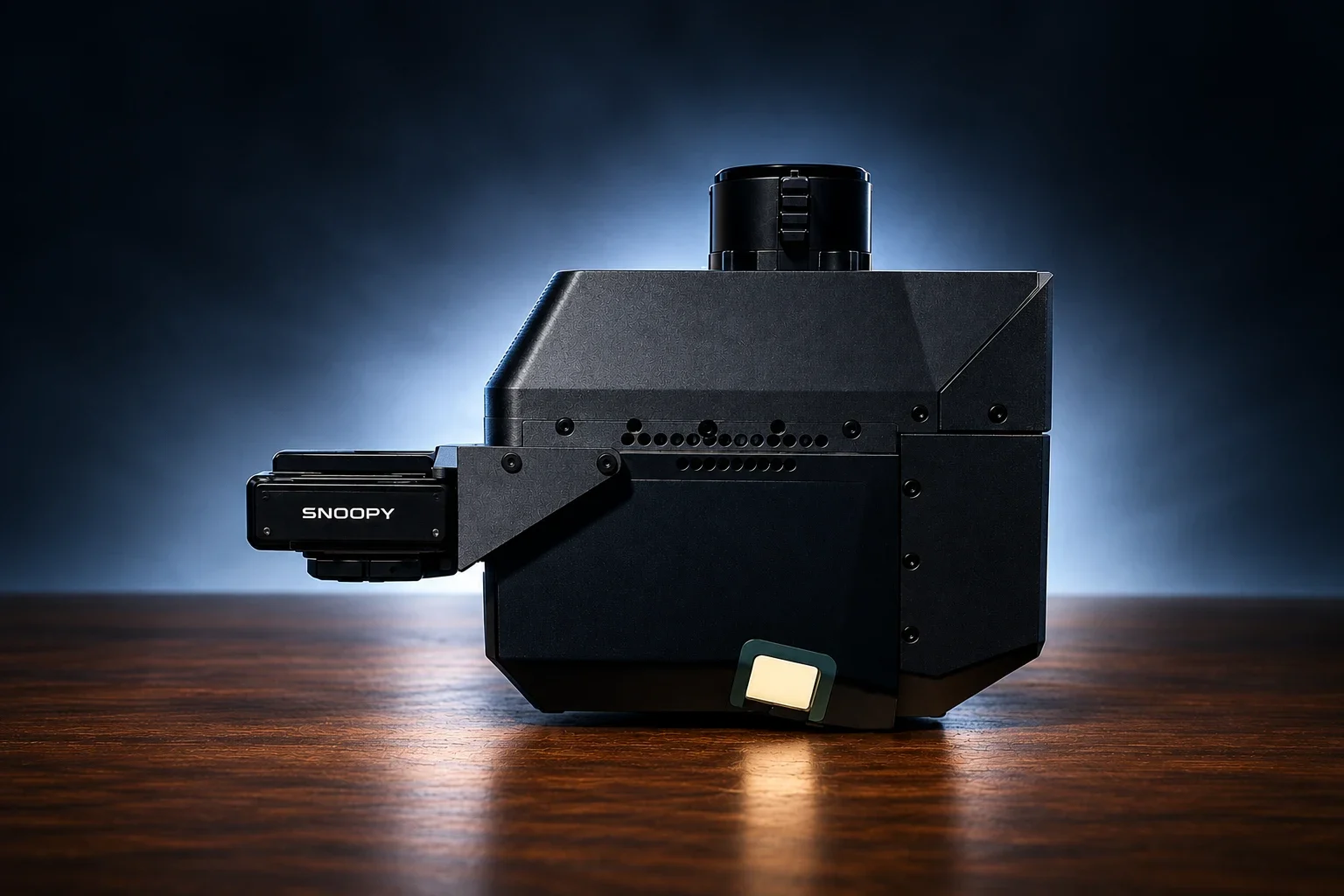
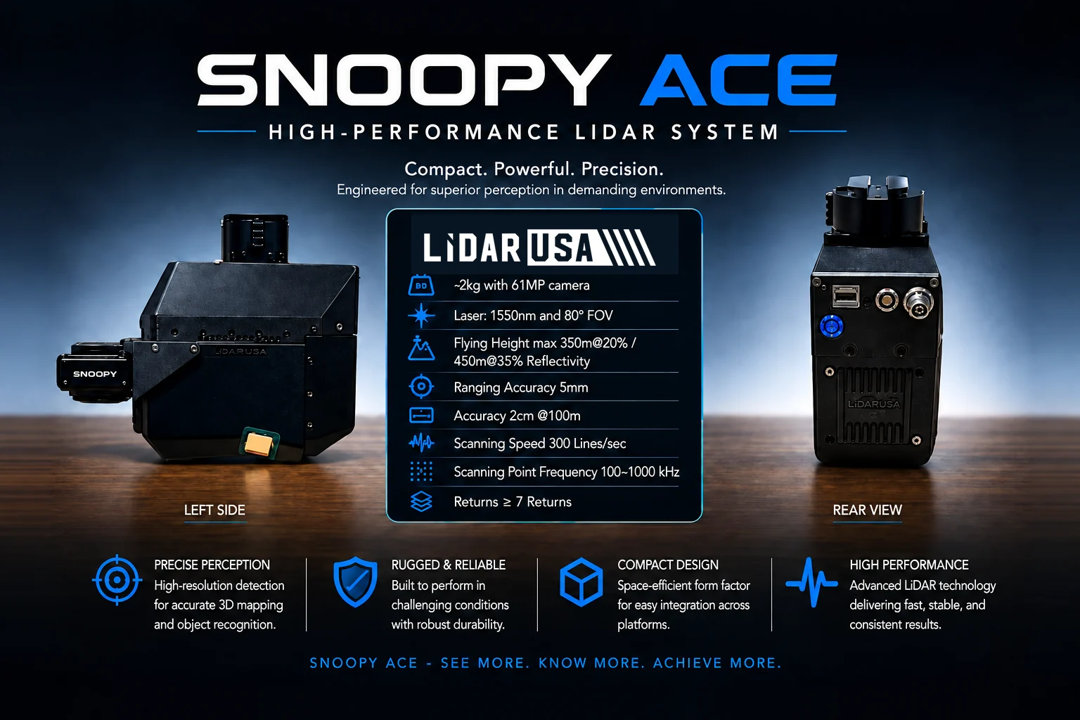
The Snoopy ACE family integrates 1550 nm LiDAR, survey-grade navigation, and high-resolution imaging in a compact, mission-ready system for UAV, helicopter, and blimp operations. Each configuration is engineered around the altitude, point density, coverage, and accuracy your work demands.
High-resolution detection supports accurate 3D mapping and confident object recognition.
Built to perform in demanding conditions with durable housing and tightly integrated components.
A space-efficient form factor helps simplify integration with UAVs, helicopters, and blimps.
A 1550 nm laser, 80-degree field of view, and selectable 100–1000 kHz point frequency support detailed professional collection.
Move across the chart to compare estimated points per square meter at representative flight speeds and flying heights. These shared planning curves are preliminary; replace them with model-specific figures when available, and confirm final results against the aircraft, sensor, and operating configuration.
Core performance details for planning aircraft integration, collection altitude, and point-cloud density.
Explore LiDARUSA field experience relevant to this system. Each story identifies the equipment actually used.
El Mirador used Snoopy HD. Snoopy ACE and Snoopy ACE 3 are current options for similar use cases, not the systems used on that expedition.

System used: Snoopy HD · June 2017
A 12-day expedition with UAV-mounted Snoopy HD revealed roads, temples, and pyramid terrain concealed beneath dense jungle.
Read the El Mirador case study