
Multi-platform by design
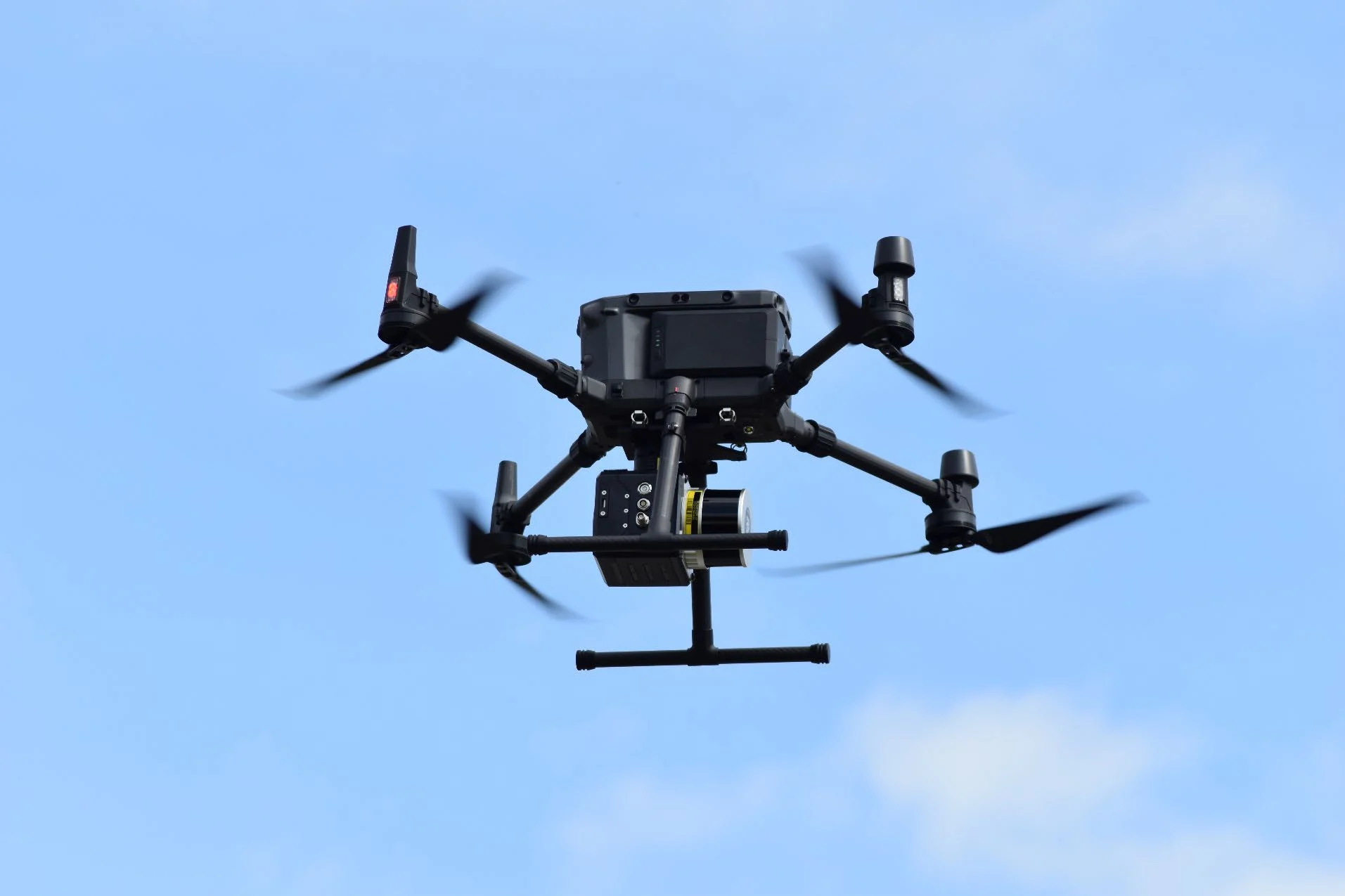
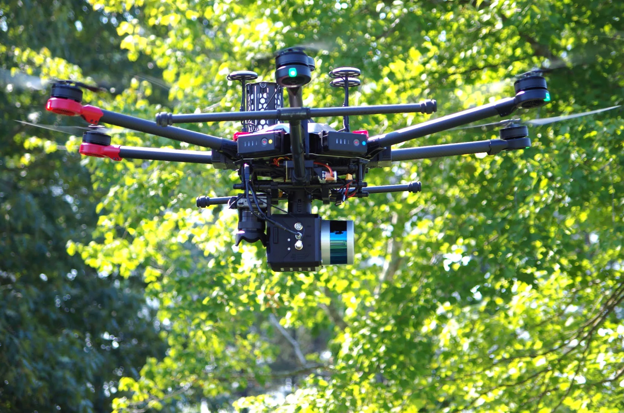
Mount to DJI M300, M600 Pro, ALTA X, SL800, and other professional aircraft, then upgrade the core system for vehicle or backpack collection.
Field notes, product updates, and mapping insights.
More coverage from a system built to move.
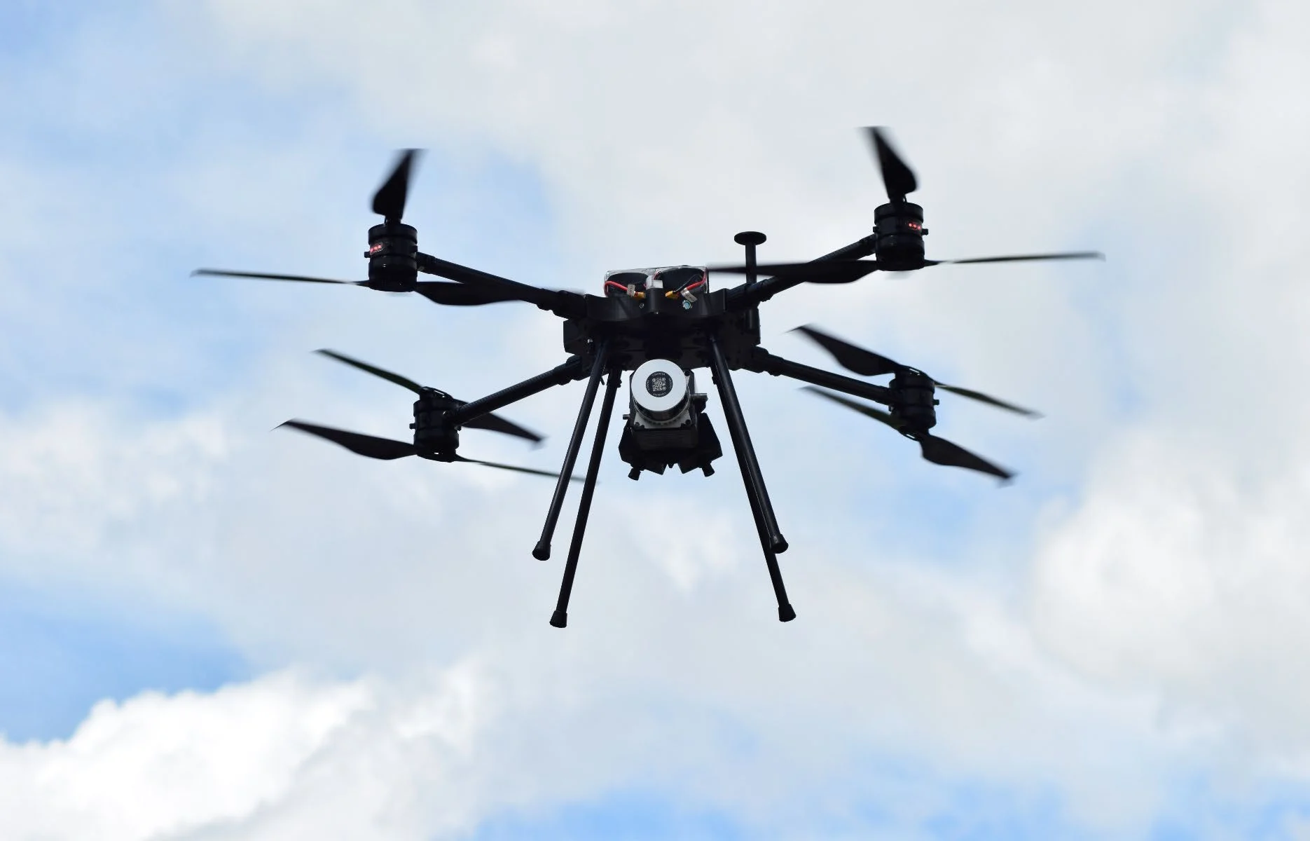
A UAV-first LiDAR mapping system built around a 32-channel, dual-return laser, tactical-grade positioning, and a single 61 MP camera for high-resolution imagery. The same core system can be upgraded for vehicle or backpack collection.
Final specifications and performance depend on the selected sensor, INS, camera, aircraft or vehicle, operating conditions, and project requirements.
Mount to DJI M300, M600 Pro, ALTA X, SL800, and other professional aircraft, then upgrade the core system for vehicle or backpack collection.
Thirty-two channels and up to 1,280,000 points per second support productive corridor, terrain, and asset mapping.
Tactical-grade IMU, high-gain GNSS antennas, a data logger, control box, and 128–256 GB of external storage are configured as one field package.
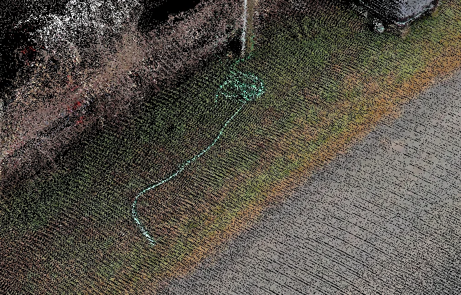
A single 61 MP camera delivers high-resolution imagery for detailed point-cloud colorization.
A dovetail mount and shock-absorbing dampener plate simplify aircraft integration while isolating the mapping payload.
LiDARUSA software supports acquisition, trajectory processing, georeferencing, data merging, control adjustment, and export to LAS, LAZ, E57, XYZ, and established production platforms.
Core performance details for planning aircraft integration, collection altitude, and point-cloud density.
Explore LiDARUSA field experience relevant to this system. Each story identifies the equipment actually used.
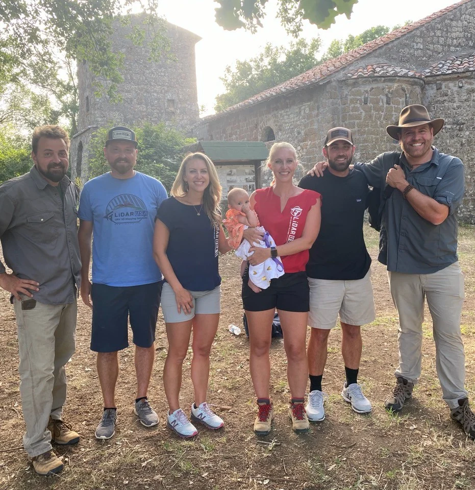
System used: Surveyor 32 · June 2022
A week of Surveyor 32 scanning helped the team investigate an ancient Etruscan village and terrain hidden by dense vegetation.
Read the Italy case study