
Mapping a path through Adak’s tundra.
Surveyor miniVUX2 terrain mapping on a remote Alaskan island
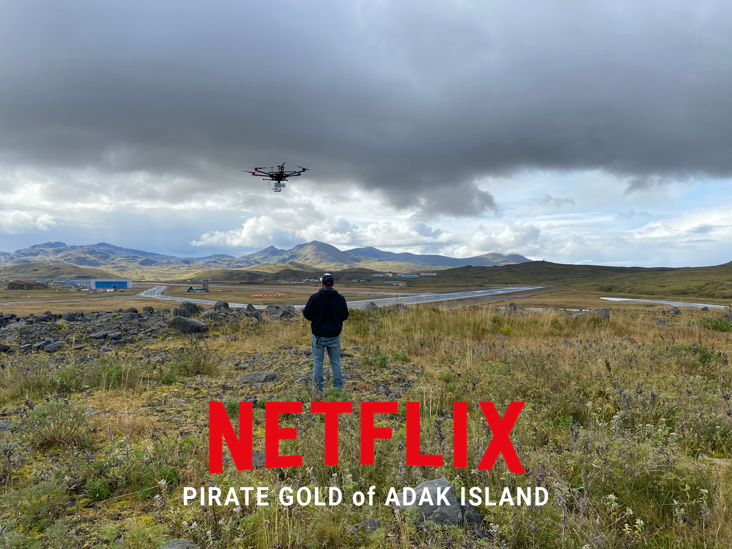
- Location
- Adak Island, Alaska
- Project date / broadcast
- September 2020 filming
- System used on this project
- Surveyor miniVUX2
In September 2020, LiDARUSA worked with Netflix during filming of Pirate Gold of Adak Island. On a remote, inhabited island in Alaska’s Aleutian chain, the team joined the search for lost treasure said to be worth more than $300 million.
The challenge
Map the tundra in a remote island environment, working around high winds and intermittent snow during filming.
The setup
The team used a Surveyor miniVUX2 survey-grade LiDAR system to collect detailed terrain data.
The result
The data helped outline paths through the tundra toward potential locations of the lost gold, giving the search team a clearer picture of the landscape to investigate.
What’s hidden in your landscape?
Tell us about your terrain, collection platform, and required deliverables. We’ll help you evaluate the right system configuration.
Get my recommendation & pricing