
Mapping the landscape
behind a pirate legend.
Revealing Florida’s swamp terrain with airborne LiDAR
- On screen
- Caribbean Pirate Treasure
- System used
- Surveyor miniV1
- Broadcast
- 2018
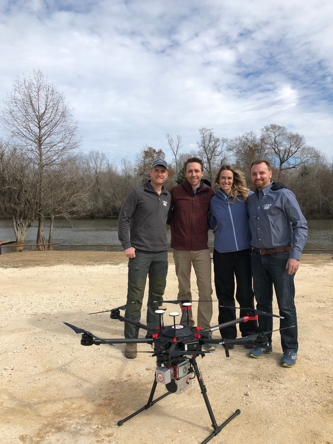
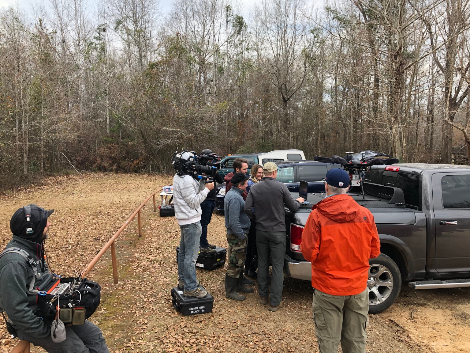
LiDARUSA joined Philippe Cousteau Jr., grandson of explorer Jacques Cousteau, and his wife Ashlan Gorse Cousteau to explore and map a section of Florida’s Gulf Coast for Caribbean Pirate Treasure.
The search centered on a swamp linked to the legend of Gasparilla—a pirate said to have scuttled his ship in an inland waterway and hidden treasure nearby. Dense trees and underbrush made the terrain difficult to see.
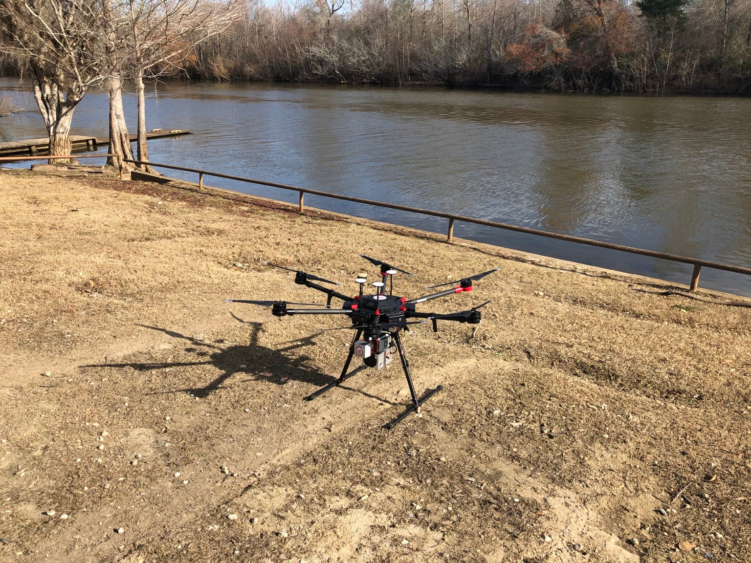
A UAV-mounted Surveyor miniV1 collected 3D data at low tide. The team processed the survey into a bare-earth terrain model and a contour map.
A clearer picture.
A place to investigate.
The bare-earth model revealed several large mounds. The terrain and contour data gave the archaeologist details for further investigation—not confirmation of buried treasure.
This expedition used Surveyor miniV1. Explore the Surveyor miniVUX family for similar terrain-mapping work today.
Explore Surveyor miniVUXThe episode was covered in 2018; the exact filming date is unconfirmed. Read the episode coverage ↗