
Mapping Dracula’s history.
LiDARUSA documents Romania’s Royal Court in 3D.
How LiDARUSA helped Global Digital Heritage capture a historic Romanian landmark with aerial LiDAR, oblique imagery, and hands-on field support.
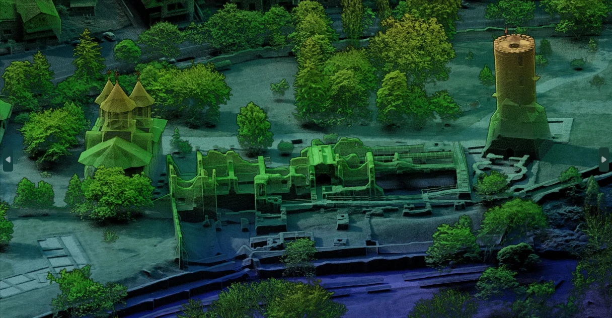
- Location
- Târgoviște, Romania
- Fieldwork
- Late October 2023
- Aerial system
- Surveyor 32 MAX
- Imaging
- Dual oblique cameras
- Site scale
- Approximately 40 acres
- Collaborators
- Global Digital Heritage · Romania’s National Institute of Heritage
A historic place. A new way to preserve it.
In late October 2023, LiDARUSA joined Global Digital Heritage in Târgoviște, Romania, to help digitally document the historic Royal Court associated with Vlad III, widely known as Vlad the Impaler.
Working on a heritage initiative involving Romania’s National Institute of Heritage, the team captured the castle ruins, surrounding grounds, Chindia Tower, and Great Princely Church. The objective was to create a detailed digital record that could support public education, archival preservation, and future restoration planning.
Complex ruins, confined spaces, and a working visitor site.
The Royal Court presented several mapping challenges within one location. Collapsed walls and closely spaced ruins required careful coverage from multiple viewpoints. The grounds needed broader aerial documentation, while the tower’s narrow spiral staircase required a separate interior capture approach.
The site also remained a visitor destination, making coordination essential when accessing enclosed spaces.
Global Digital Heritage had purchased a LiDARUSA system only a few months earlier and requested hands-on assistance for the project. Forrest Briggs traveled to Romania to support the team and carry out the aerial collection and processing.
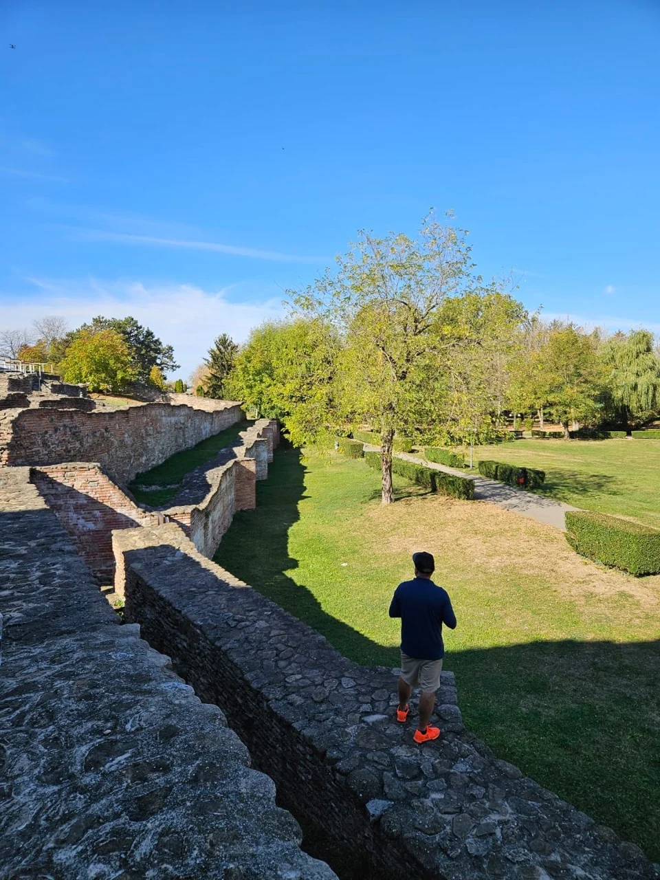
Coordinated aerial and interior capture.
Using the Surveyor 32 MAX, Briggs flew closely spaced grid patterns across the ruins and grounds. Dual oblique cameras captured imagery from opposing angles, helping document features along walls and within the complex architecture.
Approximately two and a half days were spent scanning the castle ruins, grounds, and gardens.
At Chindia Tower, the team temporarily closed the interior to visitors and completed interior scanning and photogrammetry in approximately 90 minutes. Interior and exterior datasets were then combined into a unified 3D representation of the tower.
The work also included the Great Princely Church, documenting its architecture and centuries-old frescoes.
A digital record for future generations.
Project data was delivered to the Complexul Național Muzeal Curtea Domnească Târgoviște. The documented uses included promoting the site, archiving its condition, and supporting the design of future restorations.
The project demonstrates how aerial LiDAR and complementary imaging can work together across a heritage site—from extensive grounds to confined architectural spaces. It also shows the value of field support that helps a team turn newly acquired equipment into useful project results.
For LiDARUSA, the Romania assignment brought equipment, acquisition planning, and processing expertise together in service of a lasting record of the past.
Beyond the dataset.
There is more to a field assignment than the scanning. A roadside moment from the Romania trip offers a glimpse of the places encountered along the way.

What do you need to document?
Talk with our team about your site, required deliverables, and the equipment and support needed to capture it.