High-accuracy architecture
Designed for projects where range performance, repeatability, and point quality drive the system choice.
Field notes, product updates, and mapping insights.
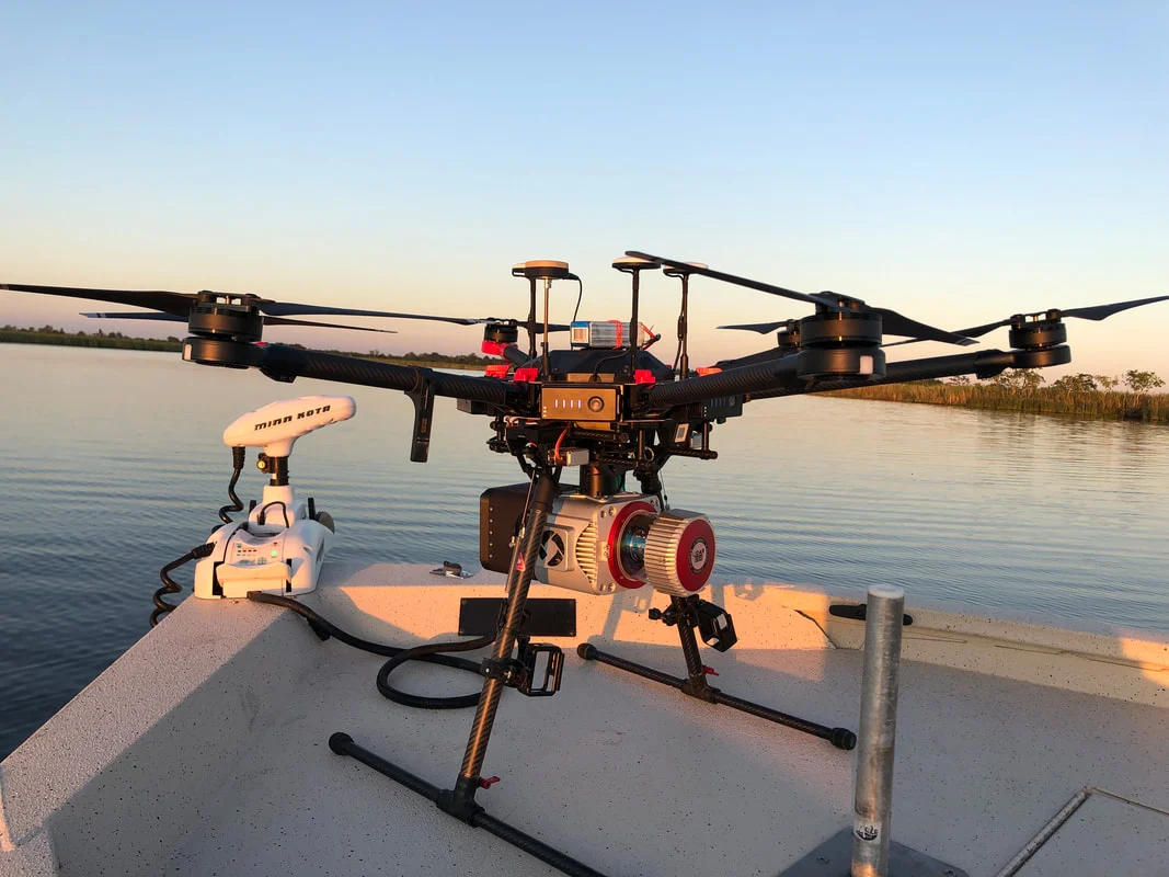
Purpose-built aerial and mobile mapping systems, configured around your accuracy, aircraft, compliance, and field workflow.
High-performance ranging for demanding survey programs.
A high-accuracy Surveyor configuration built around RIEGL VUX technology and integrated for aerial, vehicle, or backpack deployment.
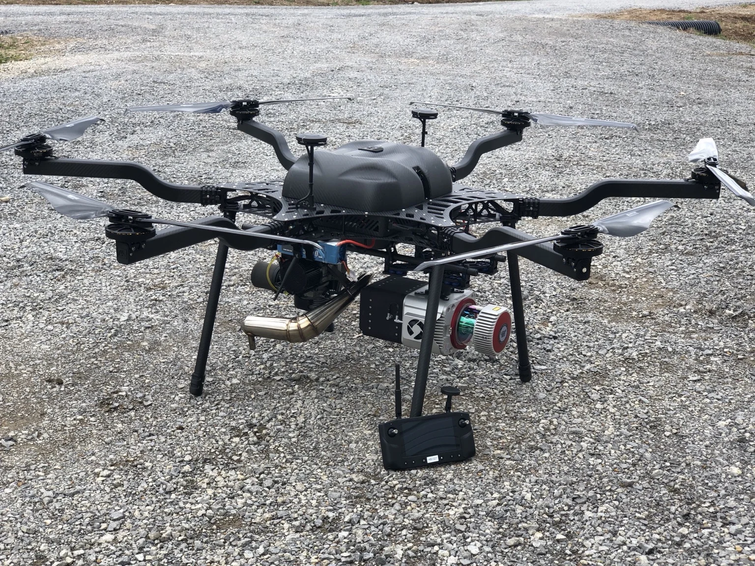
Final specifications and performance depend on the selected sensor, INS, camera, aircraft or vehicle, operating conditions, and project requirements.
Designed for projects where range performance, repeatability, and point quality drive the system choice.
Configured for aircraft, vehicle, or backpack work to increase utilization across a mapping program.
Pair the scanner with a single 61 MP camera for high-resolution imagery and detailed point-cloud colorization.
LiDARUSA integrates acquisition, trajectory, georeferencing, processing, and export around the sensor.
Move across the chart to compare estimated points per square meter at representative flight speeds and flying heights. These shared planning curves are preliminary; replace them with model-specific figures when available, and confirm final results against the aircraft, sensor, and operating configuration.