• Home
  • Newsletter
  • PRODUCTS
    • Surveyor 32
    • Surveyor 32 MAX
    • Revolution 120
    • Surveyor mini series >
      • SURVEYOR MINIV2 Riegl
      • SURVEYOR MINIV3 Riegl
    • Surveyor High Accuracy Series >
      • Surveyor VUX Riegl
      • Surveyor DUAL VUX - Riegl
      • Surveyor CL360
    • Highway Mapper Series >
      • HiWay Mapper Z & Snoopy Custom
    • UAV / Drones
  • Resources
    • myPointClouds.com
    • SAMPLE DATA
    • Pictures
    • Videos
    • Applications >
      • Surveying/Mapping
      • Education
      • Law Enforcement
      • Military
      • Archeology
      • Agriculture
    • Financing
  • SUPPORT
    • SUPPORT TICKETS
    • WIKI Support
    • RESOURCES >
      • Remote Support
      • Case Studies
      • FAQ
      • Warranty, Terms & Conditions
      • Learn
  • News
  • About
    • About Us
    • Contact
    • Jobs
LIDAR USA - UAV DRONE 3D LIDAR MOBILE MODELING MAPPING GIS EXPERTS
  • Home
  • Newsletter
  • PRODUCTS
    • Surveyor 32
    • Surveyor 32 MAX
    • Revolution 120
    • Surveyor mini series >
      • SURVEYOR MINIV2 Riegl
      • SURVEYOR MINIV3 Riegl
    • Surveyor High Accuracy Series >
      • Surveyor VUX Riegl
      • Surveyor DUAL VUX - Riegl
      • Surveyor CL360
    • Highway Mapper Series >
      • HiWay Mapper Z & Snoopy Custom
    • UAV / Drones
  • Resources
    • myPointClouds.com
    • SAMPLE DATA
    • Pictures
    • Videos
    • Applications >
      • Surveying/Mapping
      • Education
      • Law Enforcement
      • Military
      • Archeology
      • Agriculture
    • Financing
  • SUPPORT
    • SUPPORT TICKETS
    • WIKI Support
    • RESOURCES >
      • Remote Support
      • Case Studies
      • FAQ
      • Warranty, Terms & Conditions
      • Learn
  • News
  • About
    • About Us
    • Contact
    • Jobs

Education is a lifelong pursuit. We learn from the past, live in the present, and look forward to tomorrow.
Picture
Picture
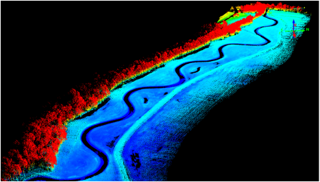
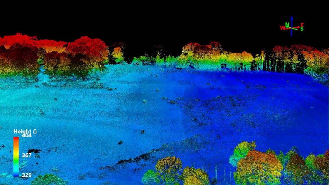
At LiDARUSA we are eager to work with all educational institutions to help them add LiDAR to their curriculum. Just as there are virtually no surveying, engineering, or GIS curriculums that are absent of GPS, we believe the same will soon be true of LiDAR. We live in a 3D world. Our maps are 3D. Many of our movies are 3D. Along with imagery there is no better way to record the 3D environment than by using LiDAR.
Let us help you build your program to be armed with the latest LiDAR technology. ​
Picture
Give your students the well deserved step ahead on technology rather than graduating them with old technology.

Coming Soon

Testimonials from our customers at Universities, Colleges, and Research Institutes on the value of using the ScanLook Revolution or ScanLook A-Series System.

CLICK HERE FOR MORE APPLICATIONS FOR LIDAR
Picture
CONTACT US

 1999–2022 Fagerman Technologies, dba. LiDARUSA.  All rights reserved.


Picture
​Sales/Main: 256-274-1616
sales@lidarusa.com
Picture
  • Home
  • Newsletter
  • PRODUCTS
    • Surveyor 32
    • Surveyor 32 MAX
    • Revolution 120
    • Surveyor mini series >
      • SURVEYOR MINIV2 Riegl
      • SURVEYOR MINIV3 Riegl
    • Surveyor High Accuracy Series >
      • Surveyor VUX Riegl
      • Surveyor DUAL VUX - Riegl
      • Surveyor CL360
    • Highway Mapper Series >
      • HiWay Mapper Z & Snoopy Custom
    • UAV / Drones
  • Resources
    • myPointClouds.com
    • SAMPLE DATA
    • Pictures
    • Videos
    • Applications >
      • Surveying/Mapping
      • Education
      • Law Enforcement
      • Military
      • Archeology
      • Agriculture
    • Financing
  • SUPPORT
    • SUPPORT TICKETS
    • WIKI Support
    • RESOURCES >
      • Remote Support
      • Case Studies
      • FAQ
      • Warranty, Terms & Conditions
      • Learn
  • News
  • About
    • About Us
    • Contact
    • Jobs