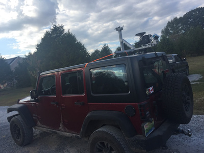
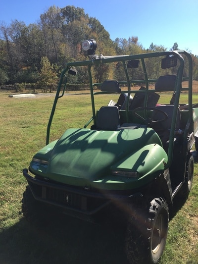
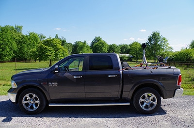
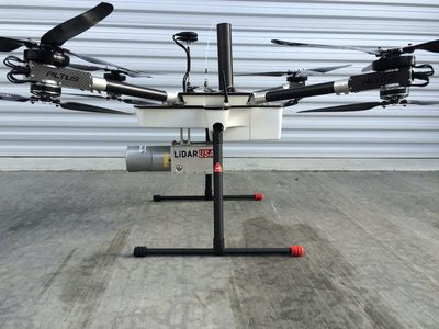
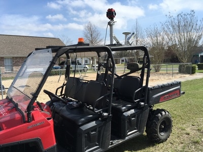
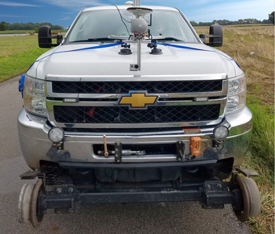
The mounts are abundant.
The applications are endless.
|
|
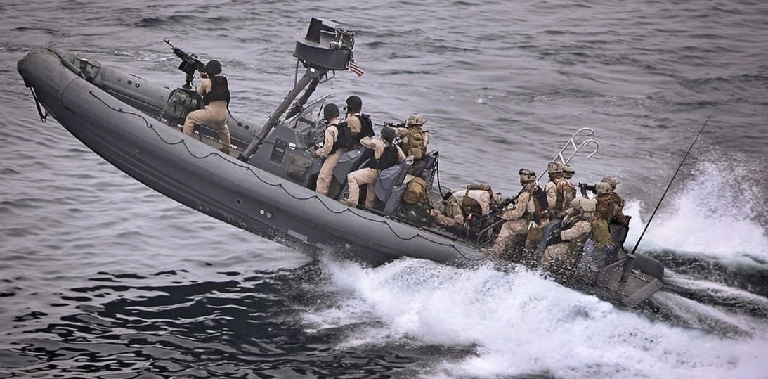
Proudly serving our Military
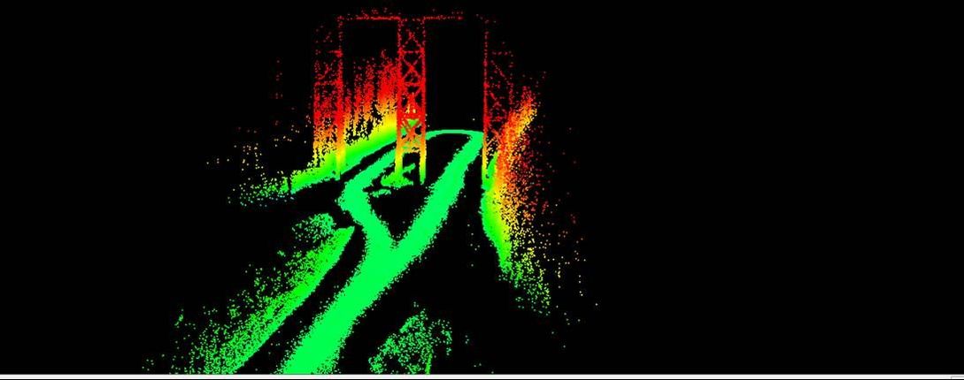
Travel Route Rapid Assessment
Topographic mapping
|
|
The days of feet on the ground surveying with conventional surveying equipment (GPS, total stations, levels) for topo collection of 5 to several thousand acres is fast becoming a thing of the past. With a Revolution or A-series system thousands of acres can easily be scanned in a day. The surveyor still needs to be present to locate sub-surface utilities but all visible information can be captured with the LiDAR and extracted in the office.
The least expensive way to get started is to use a ScanLook Revolution. It's small, light, and affordable. It's geo-positioning uses only L1 SBAS so you can't get centimeter level results directly but this can be improved using a few control points or an external positioning device (i.e. re-use your GPS equipment). If you can afford a bit more money up front and want to avoid using control as frequently, then the ScanLook A-Series is right for the job. It can get centimeter level results using only L1/L2 GNSS and post processing. Combine affordable LiDAR capture with some good software for bare earth classification to remove the vegetation and you have a topographic mapping system that will change your business model. Surveillance
|
Reconnaissance of people and buildings
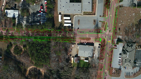
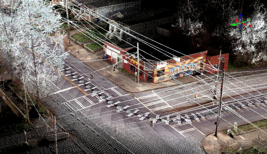
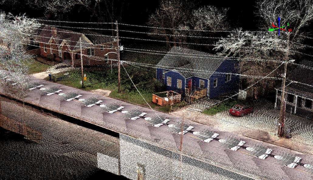
By far the vast majority of work for a mobile mapping system appears to be for asset management along roadways. This includes capturing all signs, paint strips, road surfaces, driveways, mailboxes, utilities and utility poles, overhead lines, buildings, trees, sidewalks, etc. The list of assets is almost endless.
If the job is only to populate a standard GIS for taxation then really accurate, survey grade, geo-referencing is not necessary and neither is super high resolution scan data. What is important is the ability to get within just a meter or two and to be able to clearly define the objects, easily, quickly, safely, and affordably. In this case, ScanLook Revolution is perfect for the job. Of course, tying Revolution in with a suitable camera can also be quite beneficial. Some jobs may mandate a high quality 360 degree FOV imagery such as delivered by the Ladybug5 while others require a very small, light, and affordable (directional or 360) camera. Of course, everybody wants the "magic camera" that is super small and light and can zoom from a half mile away and read your post it notes in your kitchen! We can keep dreaming...
If your requirement for accuracy is greater then there are a couple of options to explore. First, you can augment the Revolution system with control points (and ScanLook has a very nice control point tool built-in). Second, you can use an external GPS unit to improve accuracy by mounting it along with Revolution. Of course there is always the option of using a better, more expensive INS that has better GNSS processing built-in as well. This is where the ScanLook A-series systems are very beneficial. In general the A-series systems bring in an INS with L1/L2 GPS+GLONASS (etc) allowing for an inherently better solution (down to a few centimeters).
While we generally build the systems to be modular so you can choose to use or not use certain components on different jobs, it is possible to build a system with the cameras permanently affixed to the system. It all depends upon your needs.
ScanLook offers the opportunity to collect the real-world environment. The next step is to extract the point cloud data to meaningful attributes (GIS) or linework (CAD). This requires software beyond our company. We can definitely help you choose the leading software at the moment.
Hydraulic Mapping
If your interest is in mapping watersheds, erosion, and coast lines then the Revolution or A-series systems are perfect for you as well.
Waterways always present access problems with water being to shallow, brush being thick and tall, high banks, breaking waves, etc. The lightweight of the ScanLook systems make them perfect for these sorts of projects.
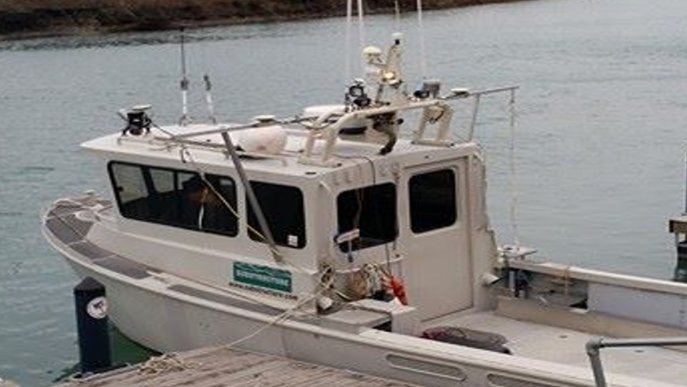
The systems can be mounted to an appropriate watercraft or even tethered to a helikite pulled behind a boat. Of course, a UAV, helicopter, or even crop-duster plane is a good choice as well.


