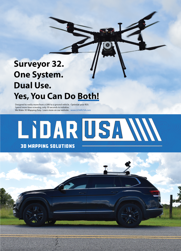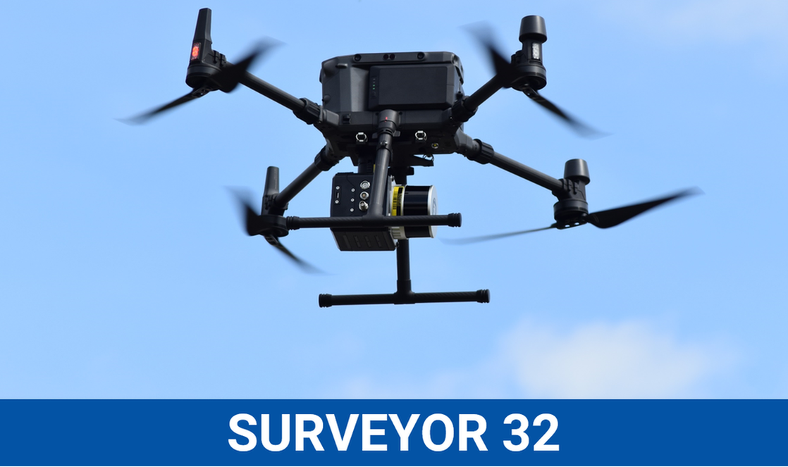
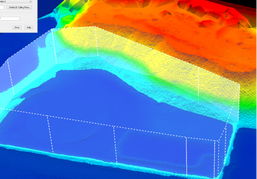
The Surveyor 32 MAX is our newest lightweight and longer range LiDAR system. You can now fly at the Max height of 120 meters* and carry dual integrated 24MP cameras on the DJI m300.
|
Utility
|
Volume Calc.
|
Road
|
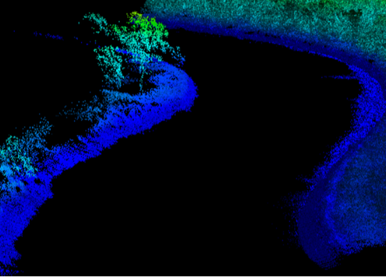
Water Shed
|
|
|
|
|
Sales/Main: 256-274-1616
[email protected] |

|