No single drone is perfect for everybody. The systems shown here are very good and each offers certain advantages that may be critical to your business.
Have your own UAV? - Send us your UAV and we'll ensure we have a suitable mount for it!
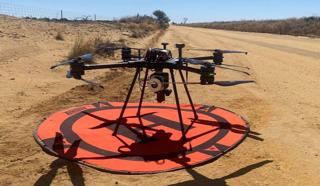
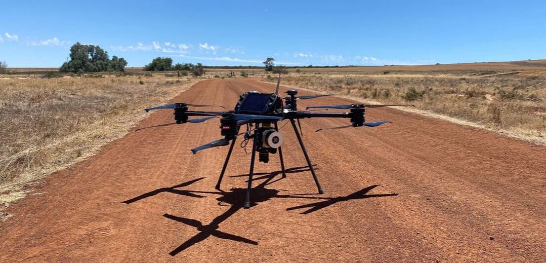
SL 800 UAV
|
|
ADD-ON Hybrid Upgrade - (SL800) INF Scanlift 800 Hybrid
The hybrid add-on extends the flight-time to an exeptional 120 minutes (payload dependent) duration with full battery redundancy. The INF hybrid system makes the Scanlift a workhorse for those large jobs, removing the need to land multiple times per flight and adding another layer of safety.
The hybrid system can be added or removed when required and retrofitted as an option for all existing customers.
The hybrid system can be added or removed when required and retrofitted as an option for all existing customers.
DJI Matrice 300
|
DJI Matrice 350
|
We recommend DJI Pilot for Waypoint, Point-of-Interest, autonomous and semi-autonomous flight modes. Included with Purchase.
Freefly's Alta X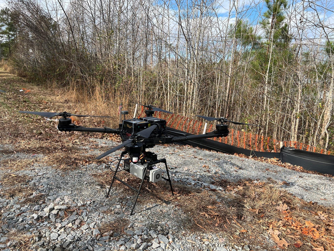
|
DJI Matrice 600 pro |
GALAXY 950 HELI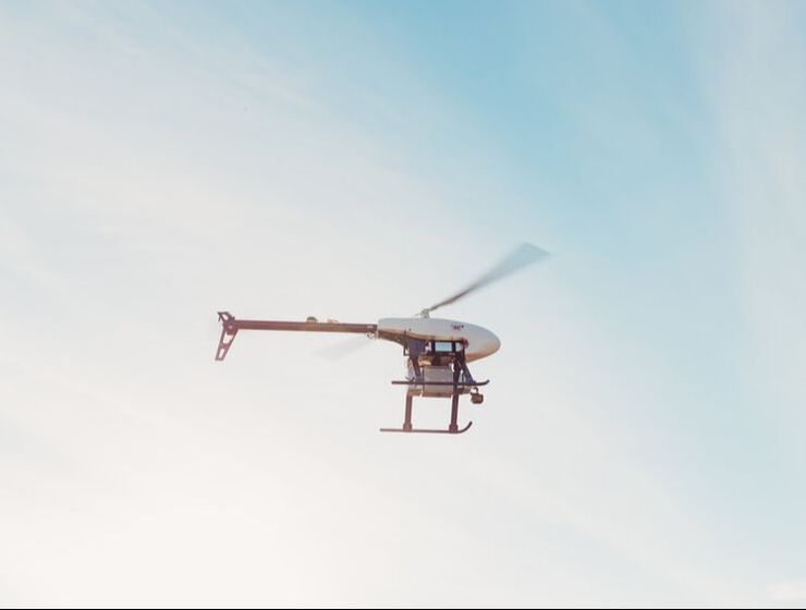
|
Inspired Flight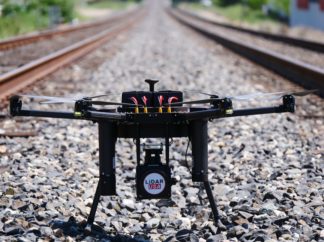
(pictured is the IF1000 & Rev120 LiDAR System on a Railroad Survey)
|
VELOS UAV
|
FT3000 VTOL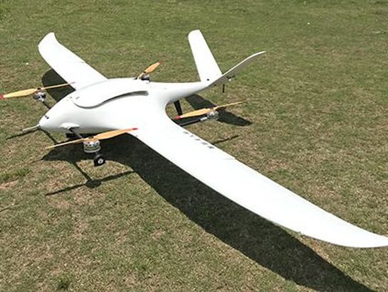
|
Harris Hybrid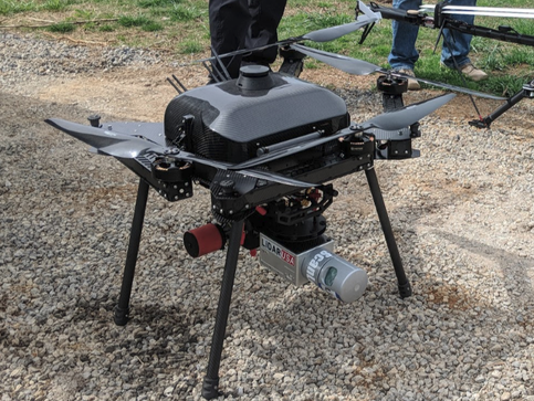
|