• Home
  • Newsletter
  • PRODUCTS
    • Surveyor 32
    • Surveyor 32 MAX
    • Revolution 120
    • Surveyor mini series >
      • SURVEYOR MINIV2 Riegl
      • SURVEYOR MINIV3 Riegl
    • Surveyor High Accuracy Series >
      • Surveyor VUX Riegl
      • Surveyor DUAL VUX - Riegl
      • Surveyor CL360
    • Highway Mapper Series >
      • HiWay Mapper Z & Snoopy Custom
    • UAV / Drones
  • Resources
    • myPointClouds.com
    • SAMPLE DATA
    • Pictures
    • Videos
    • Applications >
      • Surveying/Mapping
      • Education
      • Law Enforcement
      • Military
      • Archeology
      • Agriculture
    • Financing
  • SUPPORT
    • SUPPORT TICKETS
    • WIKI Support
    • RESOURCES >
      • Remote Support
      • Case Studies
      • FAQ
      • Warranty, Terms & Conditions
      • Learn
  • News
  • About
    • About Us
    • Contact
    • Jobs
LIDAR USA - UAV DRONE 3D LIDAR MOBILE MODELING MAPPING GIS EXPERTS
  • Home
  • Newsletter
  • PRODUCTS
    • Surveyor 32
    • Surveyor 32 MAX
    • Revolution 120
    • Surveyor mini series >
      • SURVEYOR MINIV2 Riegl
      • SURVEYOR MINIV3 Riegl
    • Surveyor High Accuracy Series >
      • Surveyor VUX Riegl
      • Surveyor DUAL VUX - Riegl
      • Surveyor CL360
    • Highway Mapper Series >
      • HiWay Mapper Z & Snoopy Custom
    • UAV / Drones
  • Resources
    • myPointClouds.com
    • SAMPLE DATA
    • Pictures
    • Videos
    • Applications >
      • Surveying/Mapping
      • Education
      • Law Enforcement
      • Military
      • Archeology
      • Agriculture
    • Financing
  • SUPPORT
    • SUPPORT TICKETS
    • WIKI Support
    • RESOURCES >
      • Remote Support
      • Case Studies
      • FAQ
      • Warranty, Terms & Conditions
      • Learn
  • News
  • About
    • About Us
    • Contact
    • Jobs
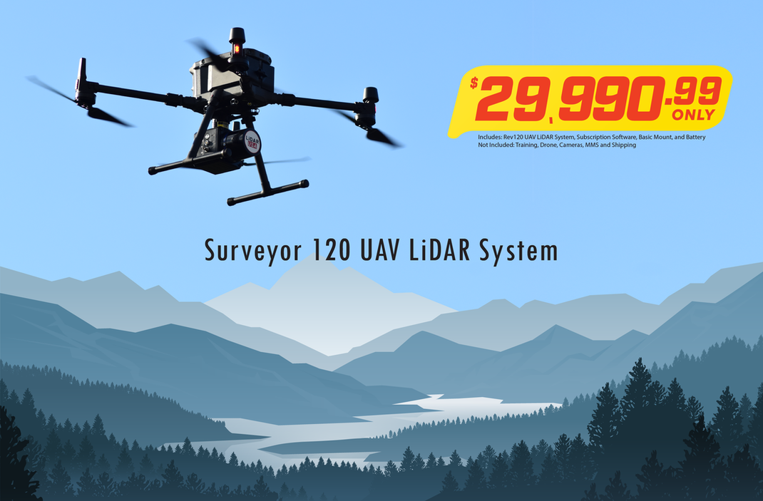
Revolution 120 R120 UAV LiDAR
Picture

Integrated Camera Options

Revolution 120 R120 UAV LiDAR Cameras

SAMPLE DATA
(Click Picture to View Data)
Change point size to 4.  Change Appearance to either elevation or intensity gradient ​

OPTIONS

Camera

Add a RGB sensor to create a colorized 3d point cloud.
Add a multispectral sensor to create a colorized 3d point cloud.
Add a hyperspectral sensor to create a colorized 3d point cloud.
Add a thermal sensor to create a colorized 3d point cloud.

Upgrade to a Mobile Scanner

Easily upgrade to a backpack or vehicle mapping system with no hardware upgrades

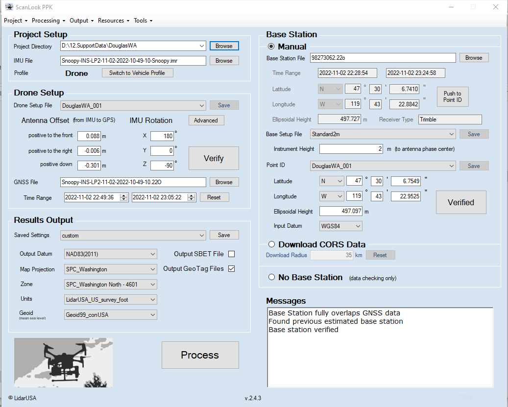
Software

  • Generate trajectory in ALL Coordinate Systems
  • LAS / LAZ / E57 / XYZ and other file format outputs
  • Point cloud filtering
  • Control point adjustment tool
  • Coordinate measurement update tool
  • *classification
  • *feature extraction
Lease and Financing available
Picture

 1999–2022 Fagerman Technologies, dba. LiDARUSA.  All rights reserved.


Picture
​Sales/Main: 256-274-1616
sales@lidarusa.com
Picture
  • Home
  • Newsletter
  • PRODUCTS
    • Surveyor 32
    • Surveyor 32 MAX
    • Revolution 120
    • Surveyor mini series >
      • SURVEYOR MINIV2 Riegl
      • SURVEYOR MINIV3 Riegl
    • Surveyor High Accuracy Series >
      • Surveyor VUX Riegl
      • Surveyor DUAL VUX - Riegl
      • Surveyor CL360
    • Highway Mapper Series >
      • HiWay Mapper Z & Snoopy Custom
    • UAV / Drones
  • Resources
    • myPointClouds.com
    • SAMPLE DATA
    • Pictures
    • Videos
    • Applications >
      • Surveying/Mapping
      • Education
      • Law Enforcement
      • Military
      • Archeology
      • Agriculture
    • Financing
  • SUPPORT
    • SUPPORT TICKETS
    • WIKI Support
    • RESOURCES >
      • Remote Support
      • Case Studies
      • FAQ
      • Warranty, Terms & Conditions
      • Learn
  • News
  • About
    • About Us
    • Contact
    • Jobs