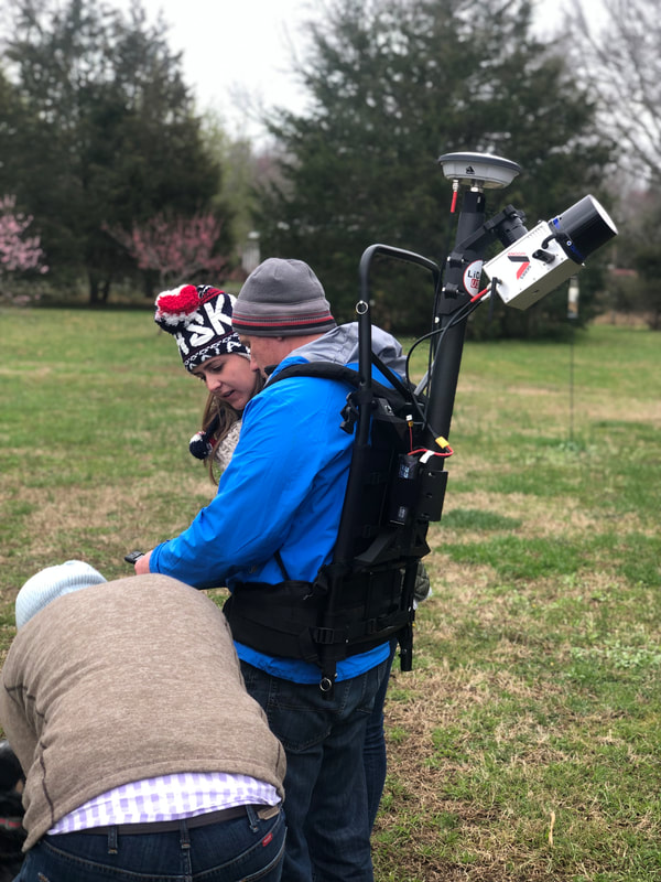
A-Series HD
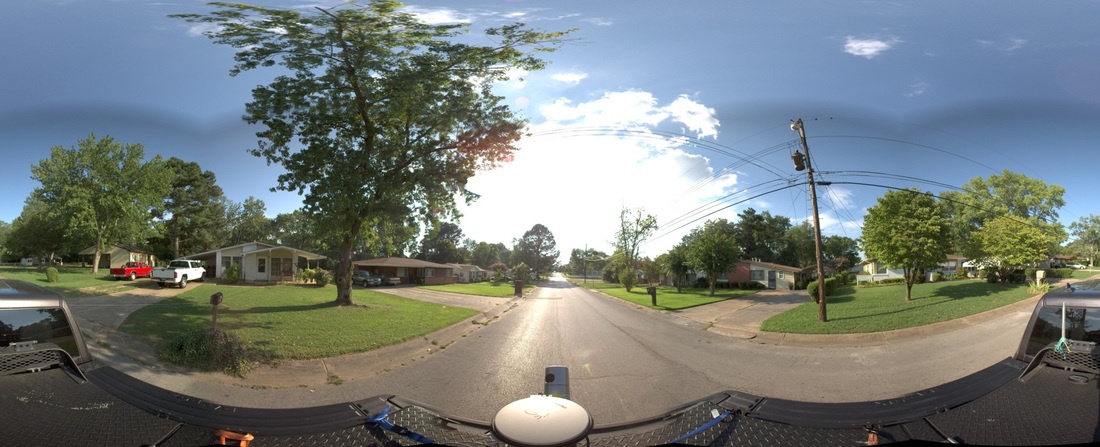
City Mapping |
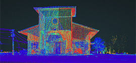
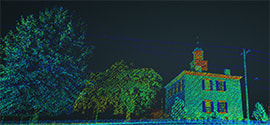
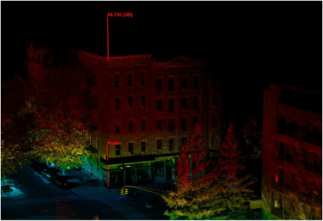
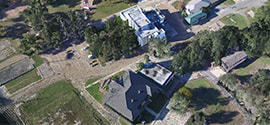
Building |
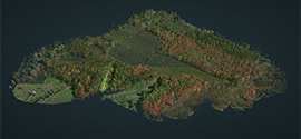
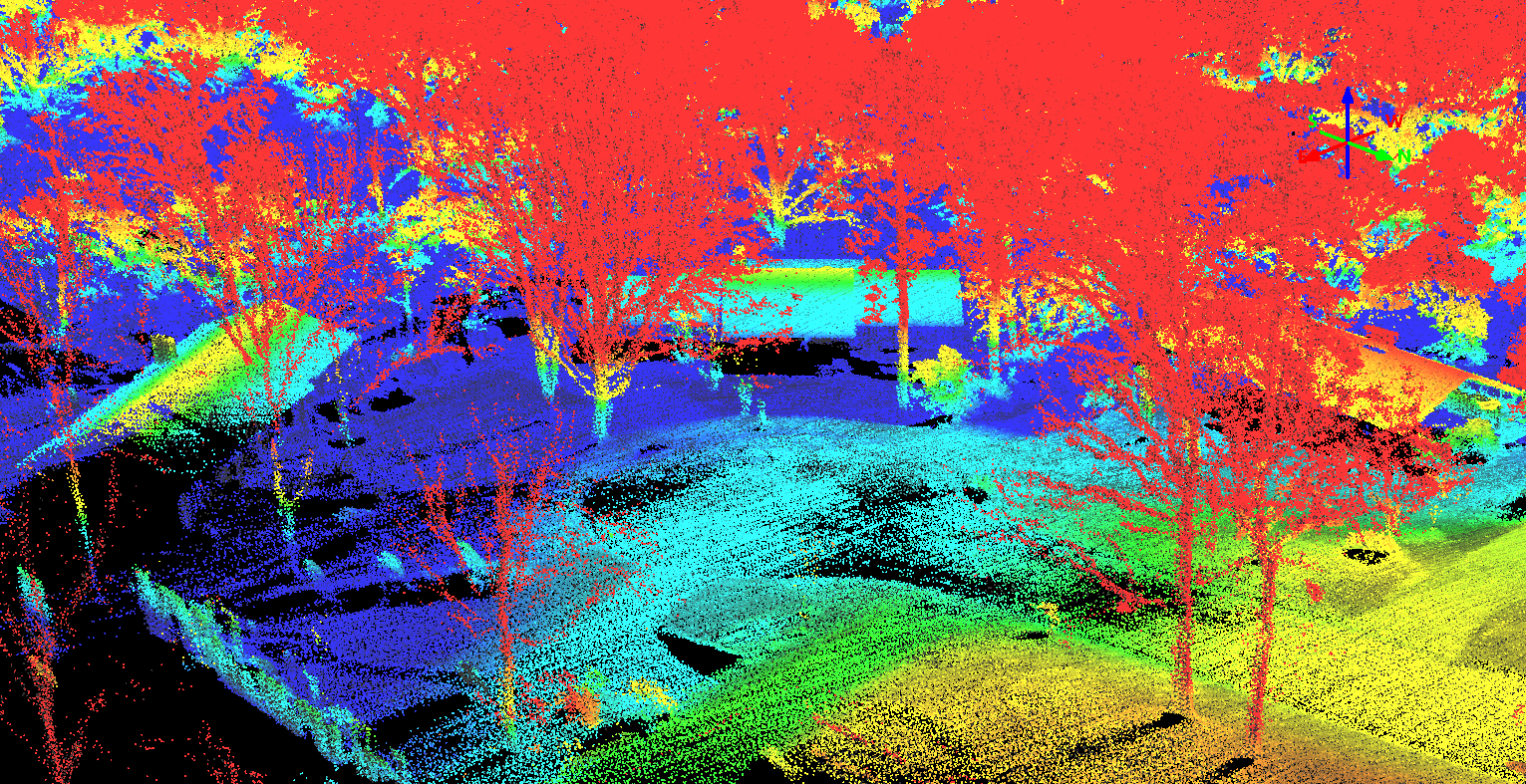
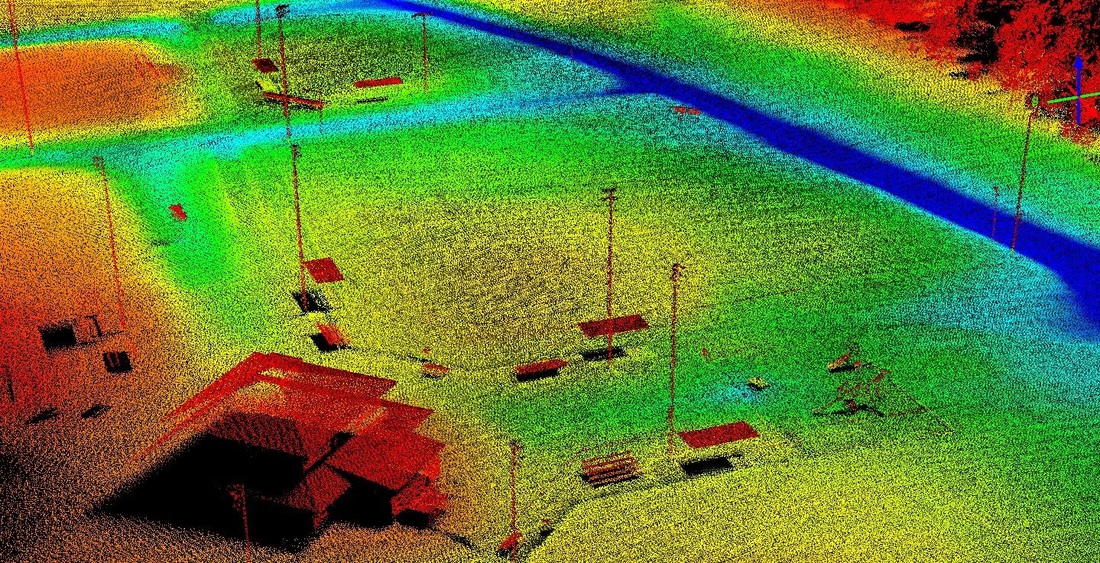
Large Forest |
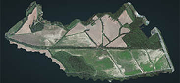
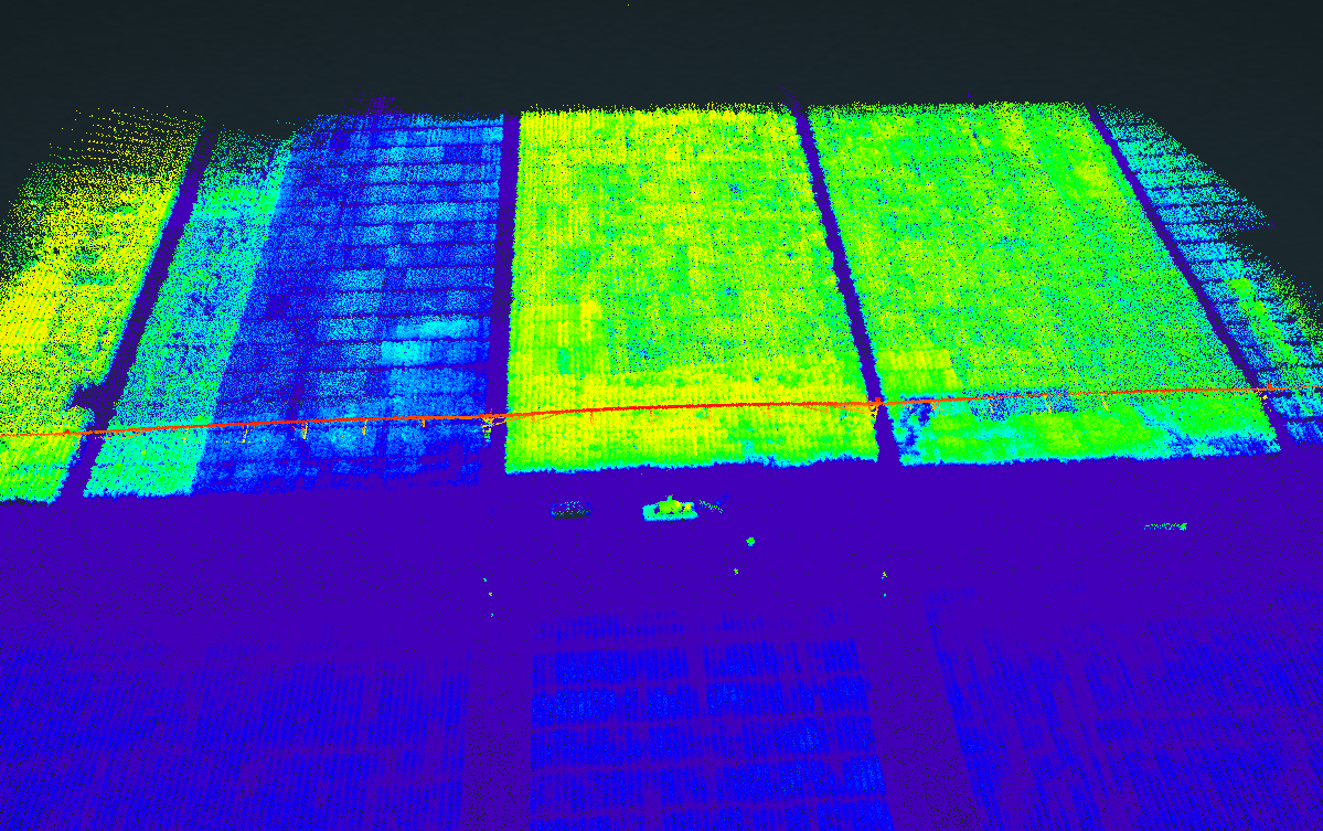
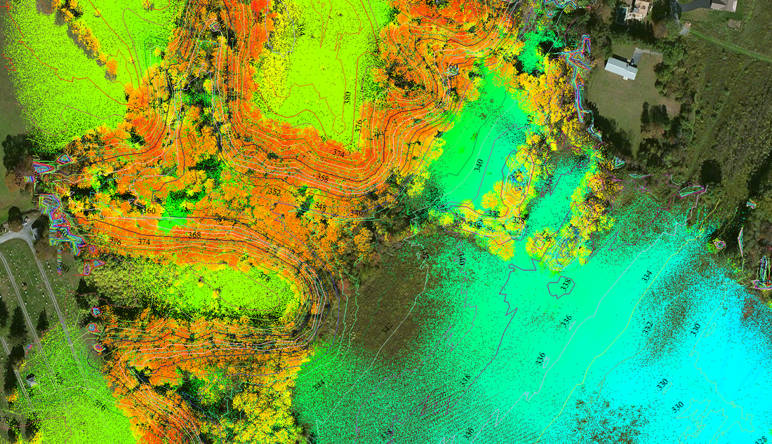
Agriculture Topo |
Revolution HD
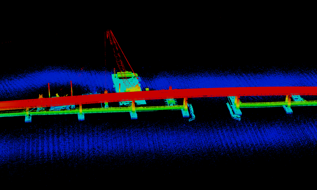
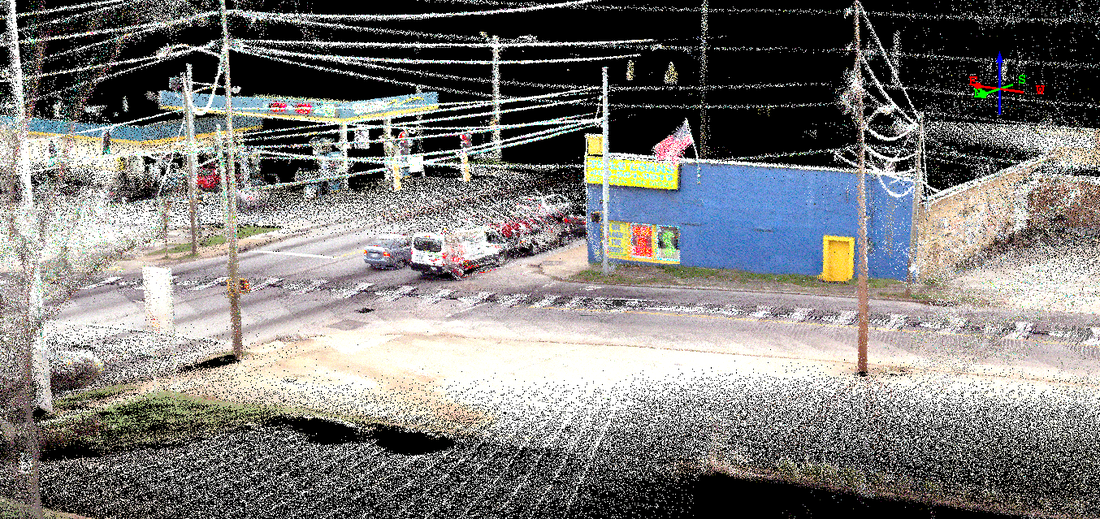
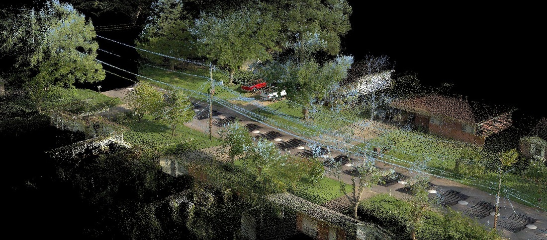
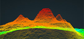
Colorized UAV LiDAR |
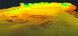
Mayan Temple (La Danta) |
Mayan Elevation Grid |
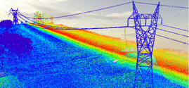
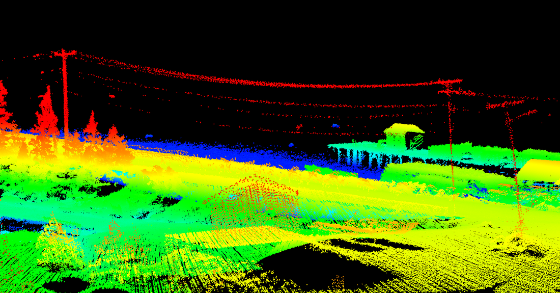
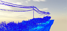
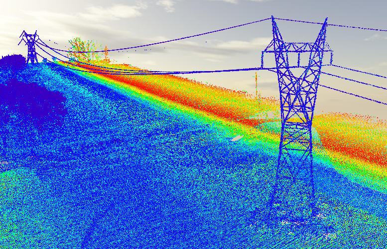
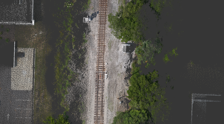
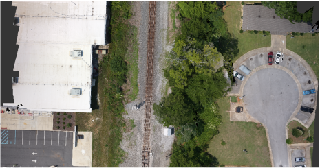
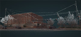
Rural Transmission Lines |