
|

|
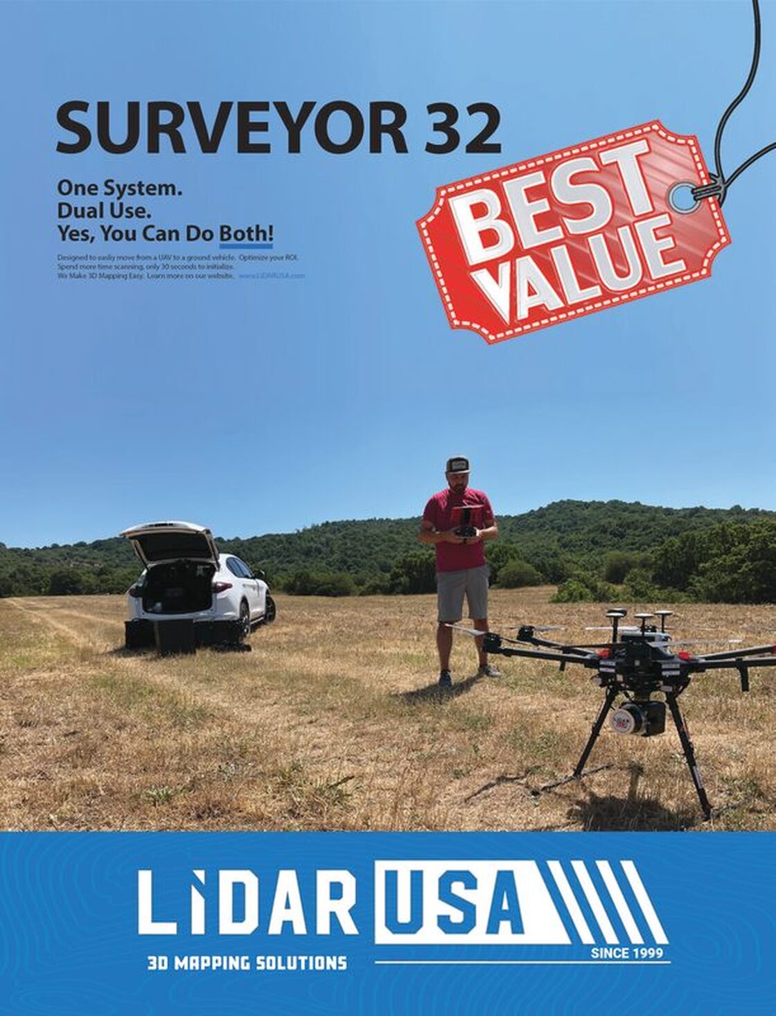
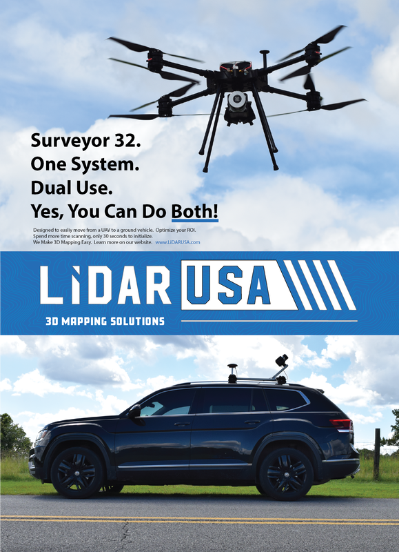
LiDAR USA Buzzes with Success and Innovation
Most practitioners in the lidar community know LiDAR USA, an acknowledged leader in the successful integration of lidar sensors on to land vehicles and UAVs. LIDAR Magazine managing editor Stewart Walker traveled to Hartselle, Alabama to interview founder and president, Jeff Fagerman. Here’s what he discovered.
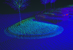
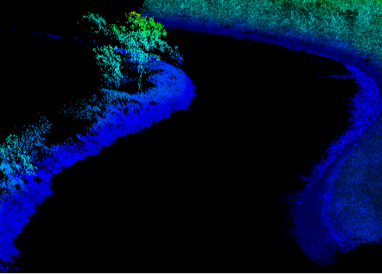
SAMPLE DATA
(Please email [email protected])
|
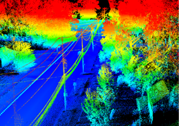
Utility
|
Volume Calc.
|
Road
|
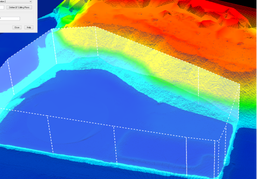
Water Shed
|
|
|