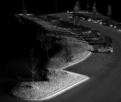
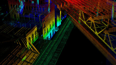
Large UAV LiDAR Solutions
We have designed every inch of our system to be light weight and robust. UAV Only solutions provide a great way to map large areas with high precision all while keeping the field time and setup time down to just a few minutes.
Simply push the power button and way you go.
You can login also and see the settings. After your mission a kml of the area is generated for you to view. We do not see the benefit of real-time feeds for three reasons, first you should always pre-plan your missions to ensure coverage area is captured. And second it is a royal pain to setup in the field. And third is adds unnecessary weight and cost.

