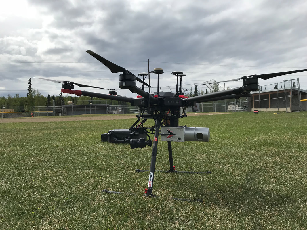
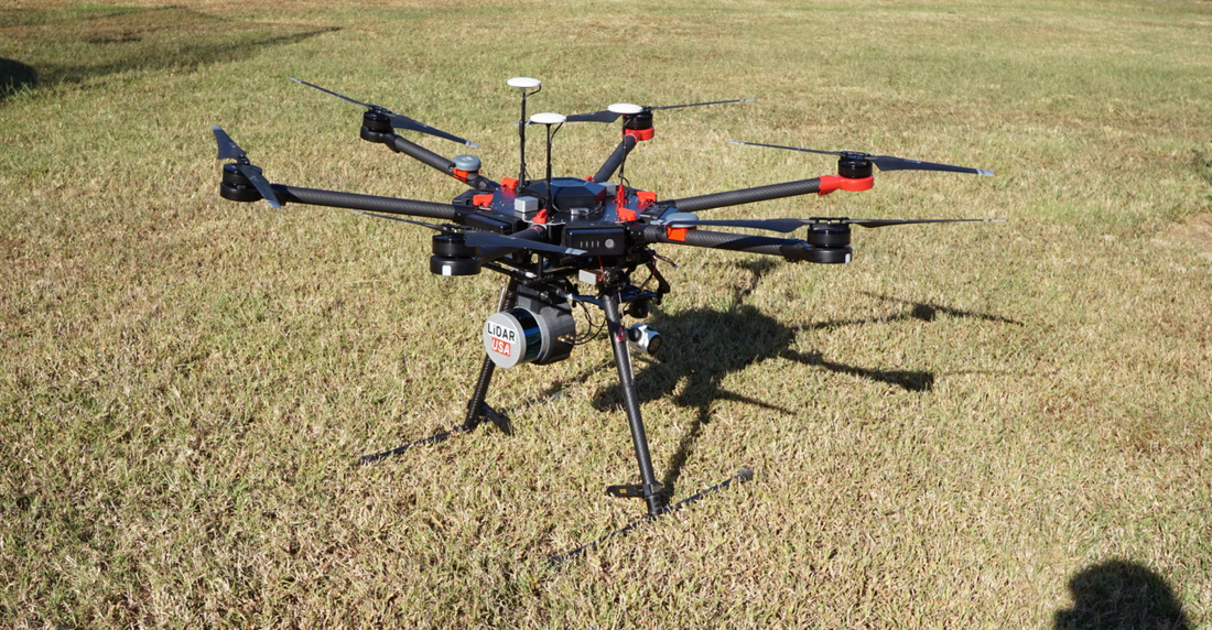
• Home
  • PRODUCTS
    • LIBERTY 64 NDAA Compliant LiDAR System
    • Surveyor 32
    • Surveyor 32 MAX
    • FTS SLAM LiDAR
    • Revolution 120
    • Surveyor mini series >
      • SURVEYOR MINIV2 Riegl
      • SURVEYOR MINIV3 Riegl
    • Surveyor High Accuracy Series >
      • Surveyor VUX Riegl
      • Surveyor DUAL VUX - Riegl
      • Surveyor CL360
    • Highway Mapper Series >
      • HiWay Mapper Z & Snoopy Custom
    • UAV / Drones
  • SURVEYOR 16
  • SUPPORT
    • SUPPORT TICKETS
    • WIKI Support
    • Warranty, Terms & Conditions
  • About
    • About Us
    • Contact
    • Jobs
    • Pictures
    • Videos
LIDAR USA - UAV DRONE 3D LIDAR MOBILE MODELING MAPPING GIS EXPERTS
  • Home
  • PRODUCTS
    • LIBERTY 64 NDAA Compliant LiDAR System
    • Surveyor 32
    • Surveyor 32 MAX
    • FTS SLAM LiDAR
    • Revolution 120
    • Surveyor mini series >
      • SURVEYOR MINIV2 Riegl
      • SURVEYOR MINIV3 Riegl
    • Surveyor High Accuracy Series >
      • Surveyor VUX Riegl
      • Surveyor DUAL VUX - Riegl
      • Surveyor CL360
    • Highway Mapper Series >
      • HiWay Mapper Z & Snoopy Custom
    • UAV / Drones
  • SURVEYOR 16
  • SUPPORT
    • SUPPORT TICKETS
    • WIKI Support
    • Warranty, Terms & Conditions
  • About
    • About Us
    • Contact
    • Jobs
    • Pictures
    • Videos
Picture
More INFORMATION
Picture
More INFORMATION
Picture
More INFORMATION

OPTIONS

Camera

Add a RGB sensor to create a colorized 3d point cloud.
Add a multispectral sensor to create a colorized 3d point cloud.
Add a hyperspectral sensor to create a colorized 3d point cloud.
Add a thermal sensor to create a colorized 3d point cloud.

Upgrade to a Mobile Scanner

Easily upgrade to a backpack or vehicle mapping system with no hardware upgrades

Software

  • Generate trajectory in ALL Coordinate Systems
  • LAS / LAZ / E57 / XYZ and other file format outputs
  • Point cloud filtering
  • Control point adjustment tool
  • Coordinate measurement update tool
  • *classification
  • *feature extraction
Lease and Financing available
Picture

 1999–2024 Fagerman Technologies, dba. LiDARUSA.  All rights reserved.


Picture
​Sales/Main: 256-274-1616
[email protected]
Picture
  • Home
  • PRODUCTS
    • LIBERTY 64 NDAA Compliant LiDAR System
    • Surveyor 32
    • Surveyor 32 MAX
    • FTS SLAM LiDAR
    • Revolution 120
    • Surveyor mini series >
      • SURVEYOR MINIV2 Riegl
      • SURVEYOR MINIV3 Riegl
    • Surveyor High Accuracy Series >
      • Surveyor VUX Riegl
      • Surveyor DUAL VUX - Riegl
      • Surveyor CL360
    • Highway Mapper Series >
      • HiWay Mapper Z & Snoopy Custom
    • UAV / Drones
  • SURVEYOR 16
  • SUPPORT
    • SUPPORT TICKETS
    • WIKI Support
    • Warranty, Terms & Conditions
  • About
    • About Us
    • Contact
    • Jobs
    • Pictures
    • Videos