Which UAV & MMS System is Right for You?
A-Series 60To edit, click on the text to start adding your own words.
|
A-Series 120To edit, click on the text to start adding your own words.
|
A-Series HDTo edit, click on the text to start adding your own words.
|
ScanLook Mapping Systems
|
|
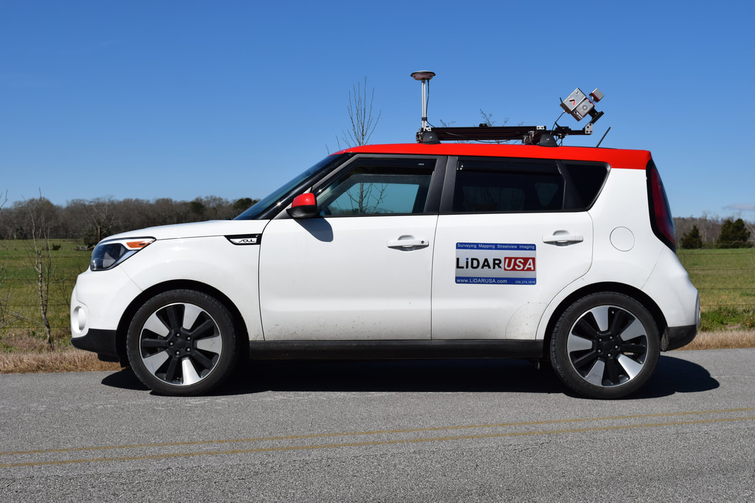
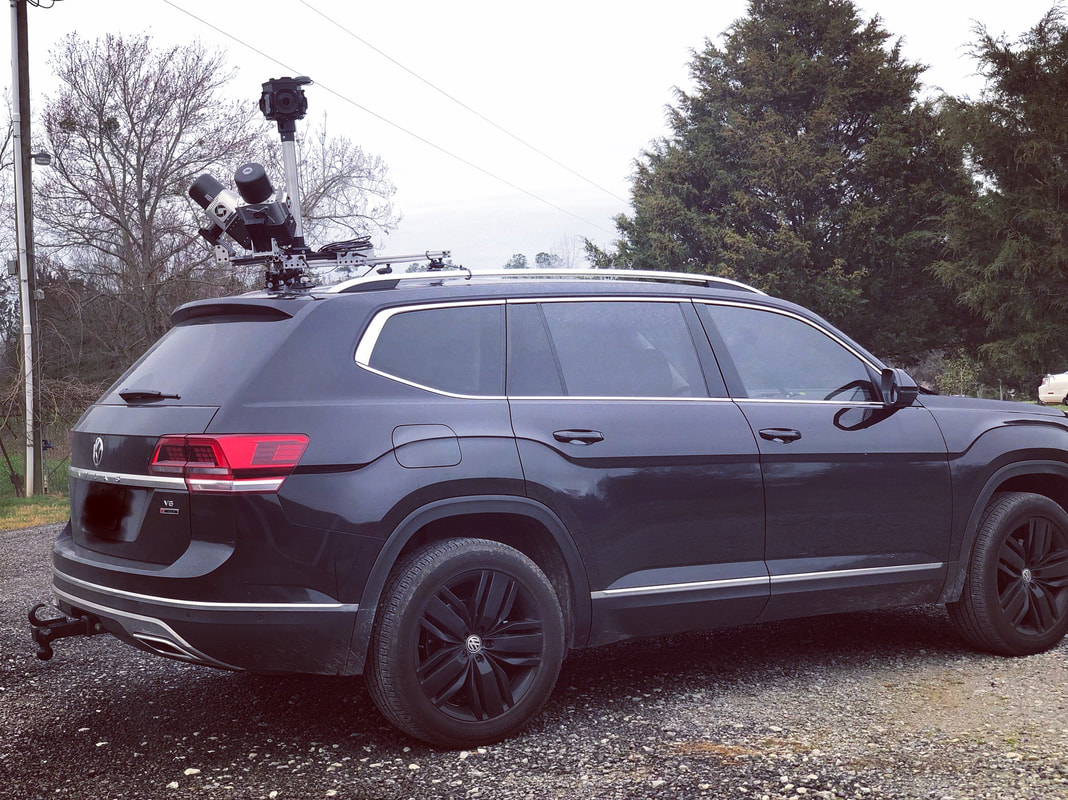
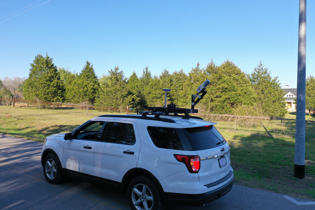
Snoopy A-Series & V-Series HiWay MapperContending as a featherweight (less than 3kg) , the Snoopy A-Series & Snoopy V-Series covers large areas quickly with a tactical grade INS; 8, 16, or 32 laser LiDAR unit; and built-in on-board computer. It harnesses a force to be reckoned with on any mobile platform. Paired with the Ladybug 5 and the HiWay Mapper is born.
It does what the high-end machines do but better and cheaper. Capable of participating as a light weight or heavy weight. Easily move from Vehicle to UAV. |

|
|
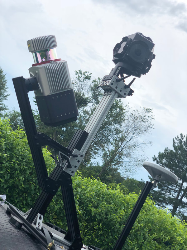
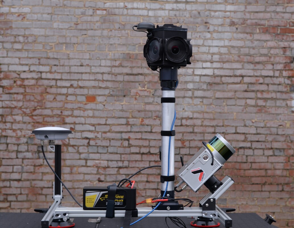
ScanLook RevolutionAny of our systems can be mixed and matched to your preference. The Snoopy, Snoopy Revolution, and Snoopy A-Series types are dependent on your choice of IMU. All LiDAR units are available on all platforms. Peruse some of our recommended configurations below.
Coming in as a bantamweight (~1kg), Revolution is great for mapping large areas quickly and effectively with a seamlessly integrated INS, 8 or 16 laser LiDAR unit, and WiFi controlled user interface with removable thumb stick storage.
|
Supporting Products
Cameras
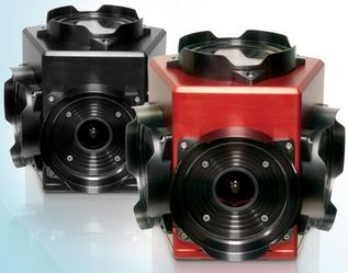
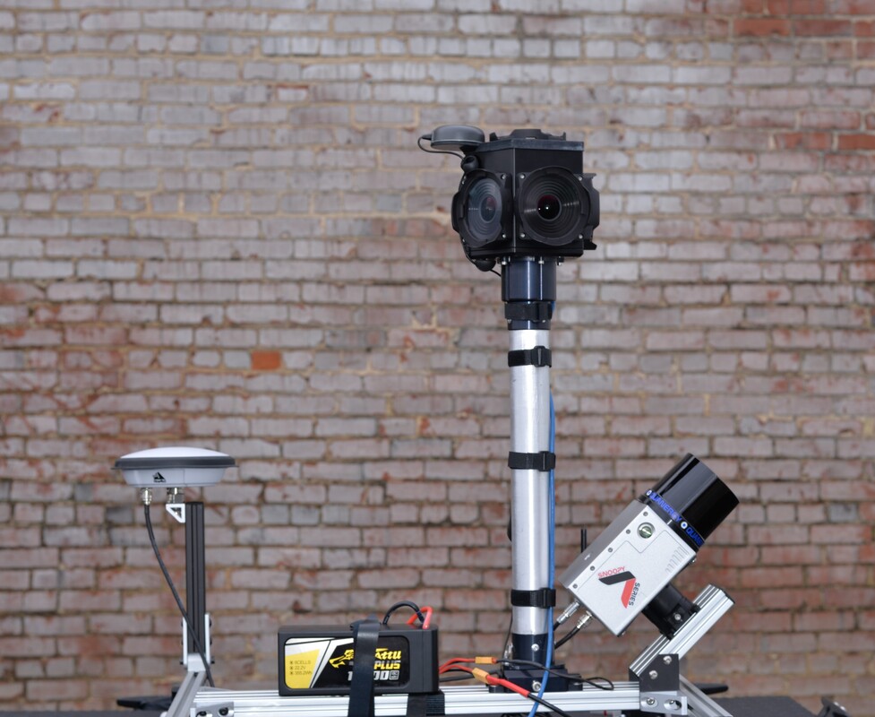
LadyBug 5+ & Ladybug 5The Ladybug5 spherical imaging system boasts an impressive 30 MP resolution covering 90% of a full sphere; a 5 Gbit/s USB 3.0 interface; and synchronization to your Snoopy LiDAR data for colorizing point clouds. It is an excellent choice for applications in geographic information systems (GIS); vehicle-based photogrammetry; and more...
|
LadyBug 3The high resolution Ladybug3 spherical digital video camera system has six 2 MP cameras that enable the system to collect video from more than 80% of the full sphere, and an IEEE-1394b (FireWire) interface with locking screw connection that allows JPEG-compressed 12MP resolution images to be streamed to disk at 15fps. The Ladybug3 is an ideal solution for applications that require very high resolution, a weather-resistant case, direct FireWire connection, and synchronized to your Snoopy LiDAR data.
|
Cameras
|
|
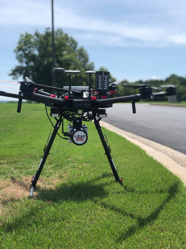
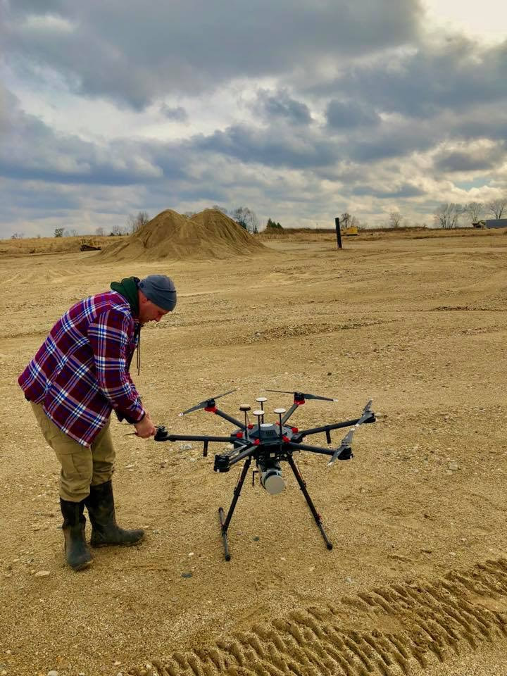
UAV / Drone
DJI Matrice 600 |
Harris H4 Hybrid |
Velos UAV |
EAGLE xf |
Mix & Match
GNSS Equipment
|
LiDAR Scanners
|
INS (GPS-IMU)
|
UAV / Drone
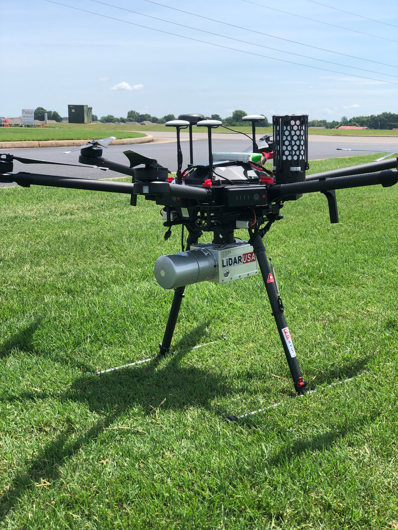
Altus ORC4, ALTUS LRX, Delta Series, EAGLE xf, OR, send us your UAV and we will mount it to your existing UAV / Drone.
|